land surveying drones
Top 7 Benefits of Using Drones for Land Surveying ?
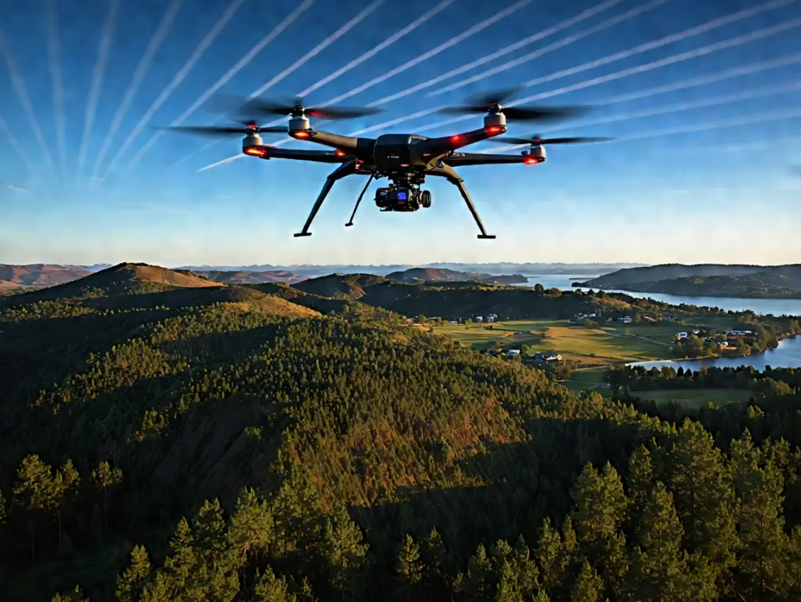
The days of surveying with a pencil and paper are long gone. Drones have completely changed the surveying and mapping game and allow for faster, safer, and
The days of surveying with a pencil and paper are long gone. Drones have completely changed the surveying and mapping game and allow for faster, safer, and

The world of surveying is ever-changing; the advent of adjustments such as drones and aerial LiDAR has produced a paradigm shift in not only traditional practices