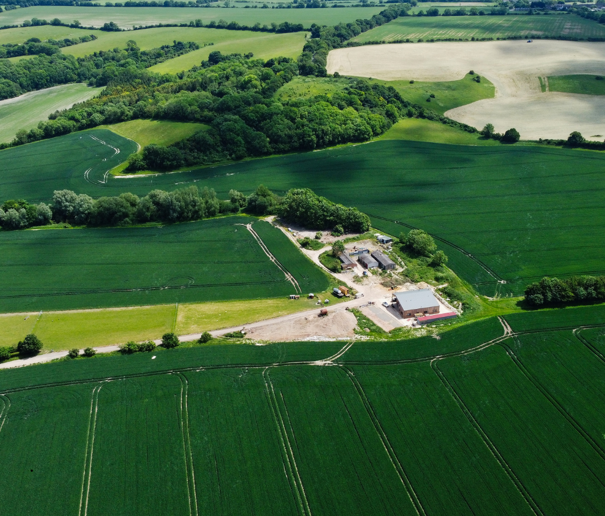
At Drone Lidar Mapping Services, we are experts in aerial land surveying using drones to deliver quick, reliable, and cost-efficient results for homeowners, developers, and real estate professionals. When you’re checking boundaries for your property and easements, or collecting elevation data, the boundary survey drone we use makes sure that you receive accurate and useful data every time.
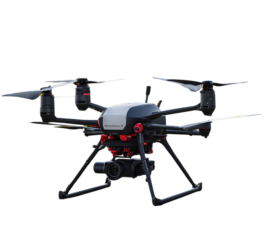
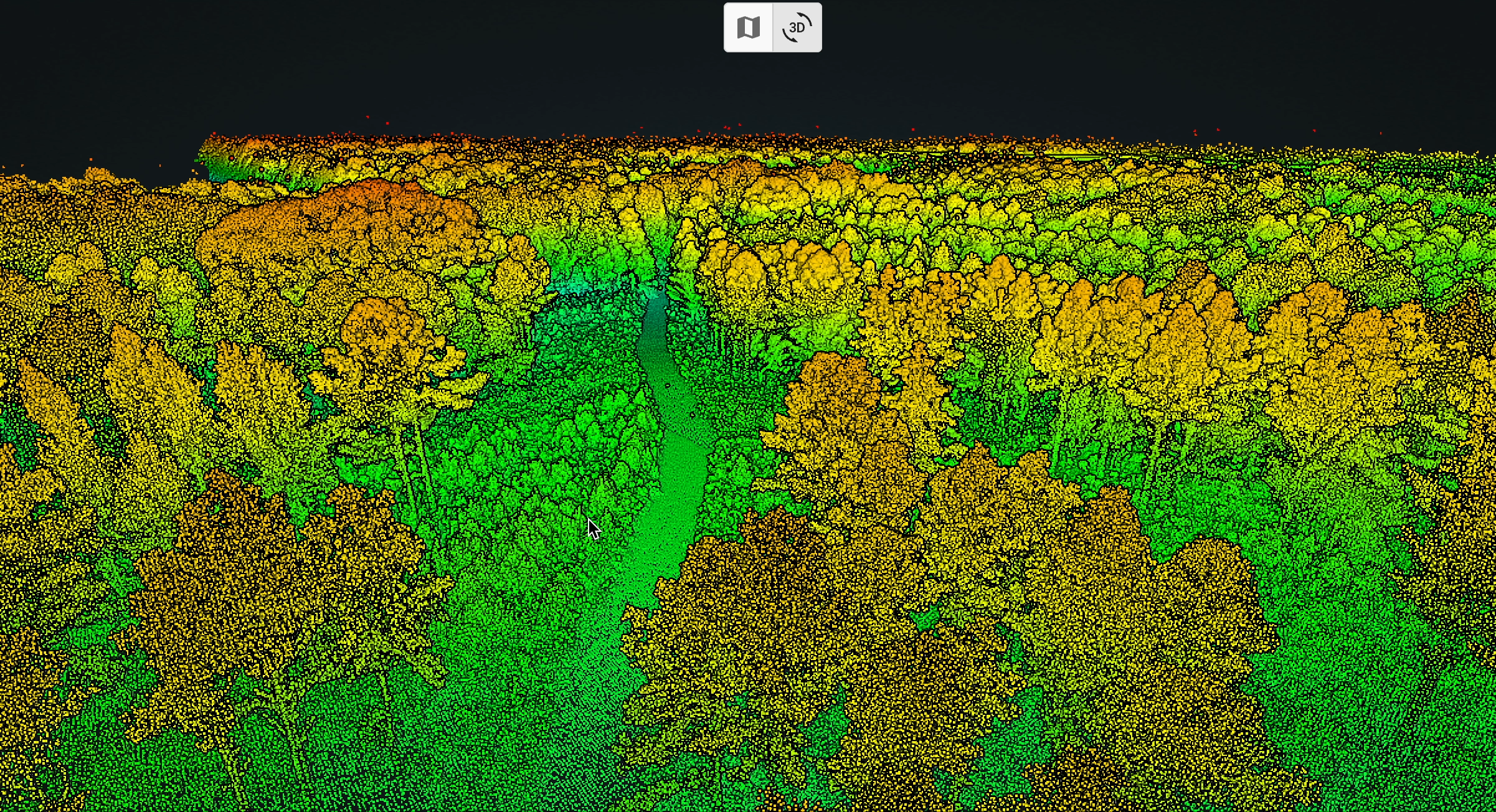
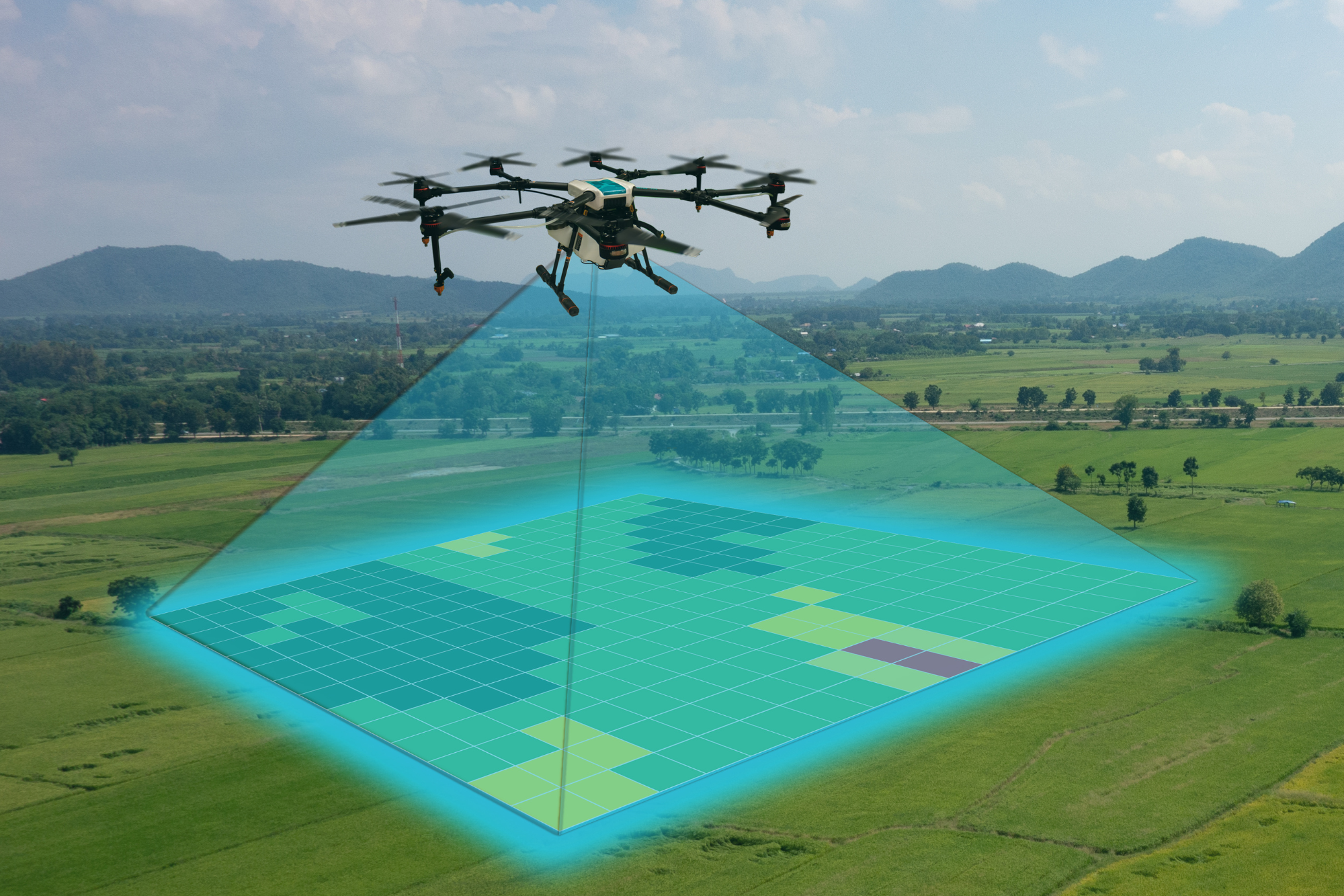
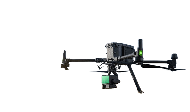
Our team uses advanced LiDAR and high-resolution aerial mapping tools to make land measurement faster, safer, and more detailed than ever before.
Accurate Boundary Mapping
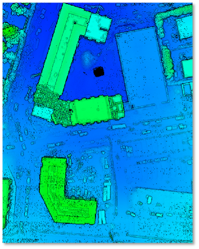
The Border survey drone will take each square inch of your land in detail and ensure that you’re in a position to determine exactly where the boundaries of your property begin and where they will end.
2. Identify Easements and Encroachments
We can help you find concealed easements for utilities such as sewer lines, water, or power lines. We also help you identify any encroachments, like barriers or constructions that traverse property lines – before they turn into disputes.
3. Structure and Feature Mapping
Our drone surveying services will locate existing structures, driveways, and fences, which can assist with the design of your site and property assessment.
4. Flood & Elevation Data
With drone land surveying, it is possible to determine whether your land is located in a flood area and also obtain elevation certificates that are required to build or insure.
5. Development & Subdivision Planning
If you’re planning to divide your property or planning a new construction, our aerial surveys offer transparent and verified location data to help you with designing and zoning.
6. Cost Transparency
Looking for a drone topographic survey cost or drone land surveying cost estimate? Our team can provide low prices with no extra charges, which will help you budget your expenses on any task.
Septic Suitability
When you purchase a home or refinance, lenders often require a survey to:
Our drone surveying services provide quick, high-resolution images and precise boundary data, ideal for lenders, real estate agents, and homeowners.
For larger areas (often larger than one acre), a boundary survey pinpoints the corners and lines boundaries of property on an outline of the survey. By using drones for land surveying, it is possible to:
Before and during development, construction staking ensures buildings, roads, and utilities are placed precisely where they should be. Aerial land surveying helps:
Increase the speed of the layout process using drone-acquired information.
Site plans are typically required to obtain local approval before the construction of a house or other structure. Land surveys by drones can offer:
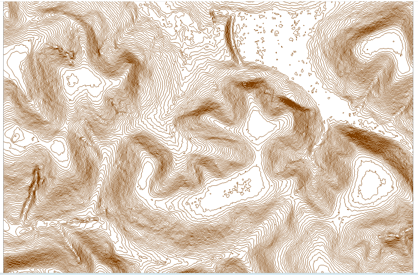
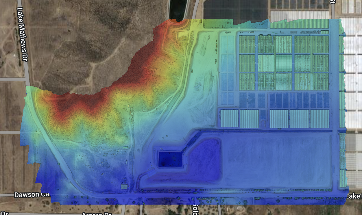
Topographic (topo) surveys reveal natural and human-made features, like streams, fences, trees, and utilities, in addition to elevation contours. Drone-based surveying:
6. Subdivision Survey
If you want to divide a larger parcel into smaller lots, a subdivision survey is needed. Aerial surveying is the best method to do this.
7. Elevation Survey
For properties in or near flood-prone areas, an elevation data faster using drone land surveying:
An ALTA Land Title Survey follows strict national standards for commercial or complex property transactions. While more in-depth and comprehensive, aerial land surveys can assist by:
Want to save on surveying costs? Schedule your drone land surveying in cooler months when foliage is low, improving visibility and reducing drone land surveying cost. It is also possible to divide the project into phases to ensure optimal efficiency and budget control.

At Drone LiDAR Mapping Services, we bring years of experience in surveying and the most advanced drone technology to provide unbeatable precision and reliability.
Every project complies with local, state, and federal surveying standards.
Our pilots are trained and certified to operate safely and legally in all environments.
We serve clients across the United States, no matter the project size or location.
From drone building survey projects to large-scale land development mapping, our team ensures every survey is handled with care, accuracy, and speed.
Are you ready to simplify your next task? Contact us now to request an estimate on drone-based surveying services. No matter if you require line survey drone or construction stakestaking, or even topographical mapping, we provide results that you can count on.
Contact us at (877) 355-35818 or use our online form to set up your survey.
At Drone LiDAR Mapping Services, we make accurate land measurement easy, affordable, and efficient every time.
Count on our expert team for detailed, dependable drone land surveying that supports smarter decision-making for land development, real estate, and construction. From identifying property boundaries to creating high-definition 3D terrain maps, our technology delivers clarity and confidence in every project.
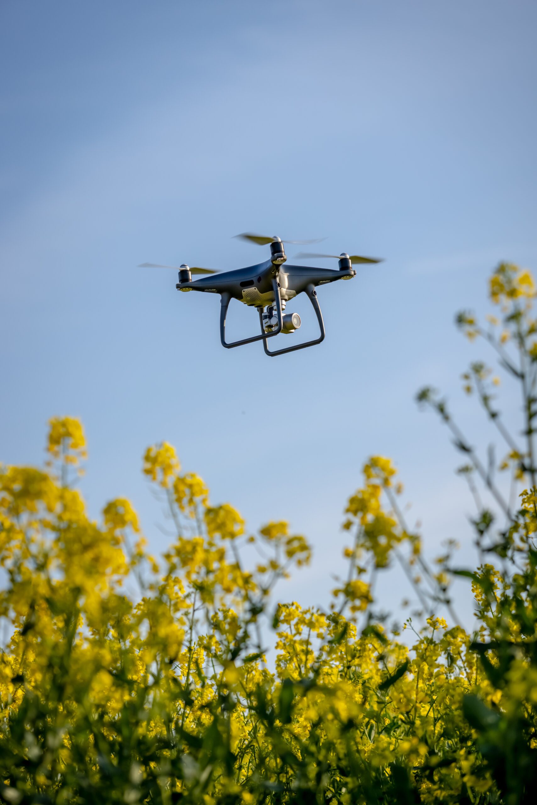
Land surveying by drones employs UAVs, also known as unmanned drones (UAVs), outfitted with LiDAR cameras or high-resolution ones to gather detailed map data. It’s quicker, more precise, and usually less expensive than traditional ground-based techniques.
The drones we use for surveying services provide centimeter-level accuracy. This accuracy assists engineers, developers, and property owners in making certain decisions regarding design, construction, and adherence to regulations.
The cost of Drone Land Surveying is dependent on the size of the project, the terrain, and the kind of survey. In general, it’s more economical than manual surveying as it requires less work and takes less time.
Factors include property size, vegetation density, and desired data resolution. Drone surveys are typically completed faster, which helps lower the overall drone topographic survey cost.
A drone building survey complements traditional inspections by providing detailed aerial imagery, structure mapping, and condition assessments-especially for large or hard-to-reach areas.
Drone Lidar Mapping company provides nationwide drone lidar mapping. Topographic Surveys, boundry ALTA Land Surveys, drone land surveys and construction aerial mapping & monitoring-delivering high precision aerial data to help you plan, build, and succeed.