At Drone LiDAR Mapping Services, we provide professional, high-end topographic drone survey services that pay particular attention to the production of accurate, precise, and actionable elevation information. It could be for land development or even infrastructure management. Our aerial mapping solutions offer the accuracy you require without the hassles or the costs that are typical of traditional surveys.
Using topographic mapping drones equipped with high-resolution sensors and LiDAR technology, we capture both natural and man-made features of your site. From contour lines to spot elevations, every detail is measured and mapped with exceptional clarity, giving engineers, architects, and developers reliable data to make smart decisions.

A drone topographic survey, also called a topo survey, is a specialized mapping process that measures the elevation, shape, and physical features of a piece of land. It shows both surface features like buildings, roads, and trees, as well as underground utilities or pipelines, using reference data.
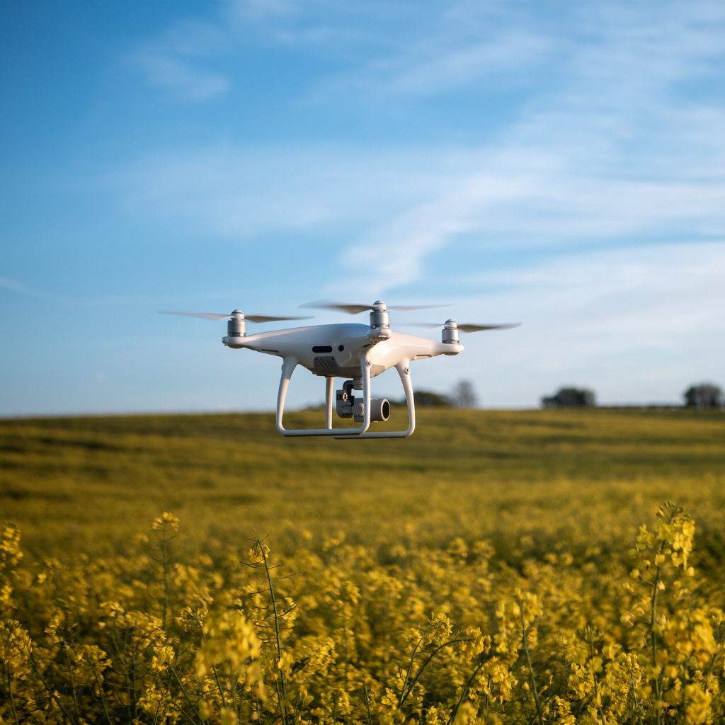
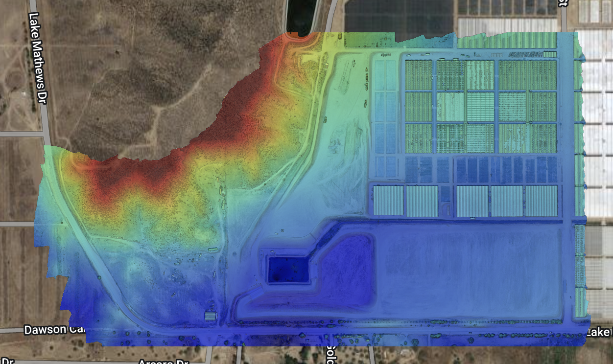
When performed using drones, the process becomes faster, safer, and more efficient. Our aerial topographic survey method combines drone photogrammetry and LiDAR scanning to create detailed 3D terrain models, DEMs, and contour lines. These models help visualize slopes, elevation changes, and land boundaries, which are very important for engineering and planning.
Accurate elevation data forms the foundation for every successful design. Our surveys help engineers make informed decisions from day one, from earthwork and grading calculations to cut-and-fill volumes.
Realistic 3D models of our aerial topographic surveys enable architects and planners to visualise how structures will look in situ before the first spade hits the earth.
Mapping of underground utilities, pipelines, or power cables reduces risks and helps avoid costly mistakes during construction. Drone data makes sure you always have up-to-date site conditions.
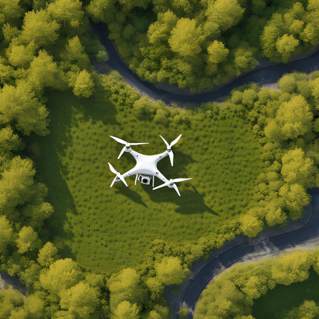
Topographic mapping drones can achieve things on rugged or steep terrains, which without these means would be impossible or hazardous.
5. Public and Municipal Projects
Accurate 3D renderings of public works projects in the future make it easier to approve projects and aid in effective communication with stakeholders as well as communities.
Topographic surveys traditionally rely on ground-based instruments like total stations or GPS units to measure points. However, aerial topography survey methods—using drone photogrammetry or drone LiDAR—have become increasingly popular for their speed and coverage:
Our drone topographic survey services follow a proven workflow that ensures accuracy and reliability at every stage:
Before the flight, our survey team sets up Ground Control Points (GCPs) to align aerial data with real-world coordinates. This step guarantees both horizontal and vertical accuracy across the entire survey area.
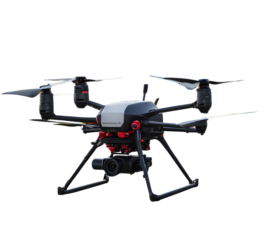
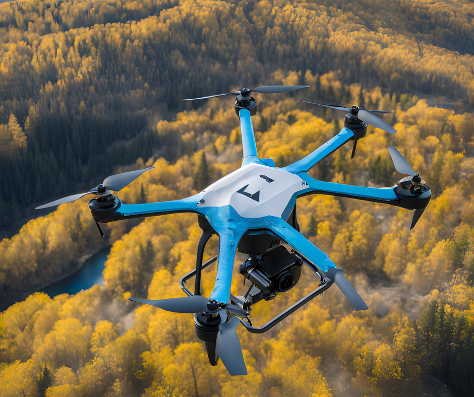
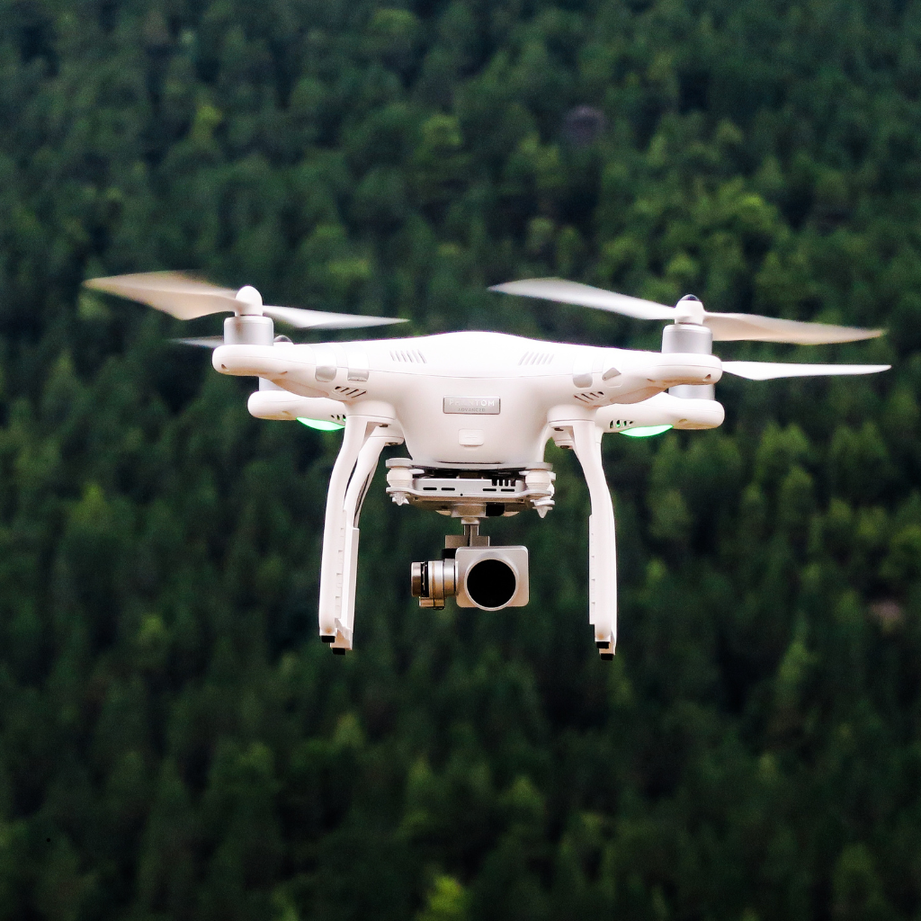
Our FAA Part 107 certified pilots use the best drones for topographic surveys, equipped with LiDAR sensors and ultra-high-resolution cameras. The drones capture hundreds of overlapping images or laser points to map every inch of the terrain.
After data has been collected, it is processed with advanced photogrammetry as well as LiDAR software to create orthomosaic maps, Digital Terrain Models (DTMs), and contour lines indicating the elevation of land.
The visible features like fences, roads, trees, or structures are traced in depth. Underground utilities are also integrated by recording data or ground-penetrating radar outputs.
We include spot elevations at critical points to enhance precision. The final output includes 3D terrain visualizations, perfect for engineering, design, or volume analysis.
After completing your drone topographic survey, you’ll receive:

At Drone LiDAR Mapping Services, we combine technical expertise with cutting-edge drone technology to bring clarity and precision to your projects. From small residential developments to large-scale commercial sites, our aerial topographic survey solutions are designed to meet your project’s budget, scope, and timeline.
We help you:
Call us today at (877) 355-3518 or fill out our online contact form to get a personalized quote. Let our team show you how drone-based topographic mapping can transform your next project.
Drone LiDAR Mapping Services, Your Trusted Partner in Drone Topographic Surveying.
Harness the power of drone surveying to gather high-quality elevation data while saving time, reducing costs, and eliminating guesswork. Let us show you how aerial topography surveys can transform your next development or infrastructure project!
Surveys by drones cover huge or difficult-to-access areas in only a fraction of the time and provide detailed digital information, which can cut down on-site time and overall costs for the project.
If performed using LiDAR and the right ground-control points, precision can be as high as centimeters, perfect for construction and engineering planning.
Drones equipped with LiDAR or high-resolution cameras, such as the DJI Matrice series or similar professional platforms, are among the best for topographic mapping.
Most projects can be completed within a few hours of flight time, with processed deliverables typically ready within days, depending on project size.
While drones can provide high-accuracy data, official boundary surveys often still require licensed ground-based verification for legal certification.
Unlock a clearer view of your land with precision-driven drone mapping.
Drone LiDAR Mapping Services, offering trustworthy drone topographic surveying services that convert the terrain data into design-ready information.
Drone Lidar Mapping company provides nationwide drone lidar mapping. Topographic Surveys, boundry ALTA Land Surveys, drone land surveys and construction aerial mapping & monitoring-delivering high precision aerial data to help you plan, build, and succeed.