Land Mapping and LiDAR Services
Land Mapping and LiDAR Services: Costs, Benefits & Key Applications
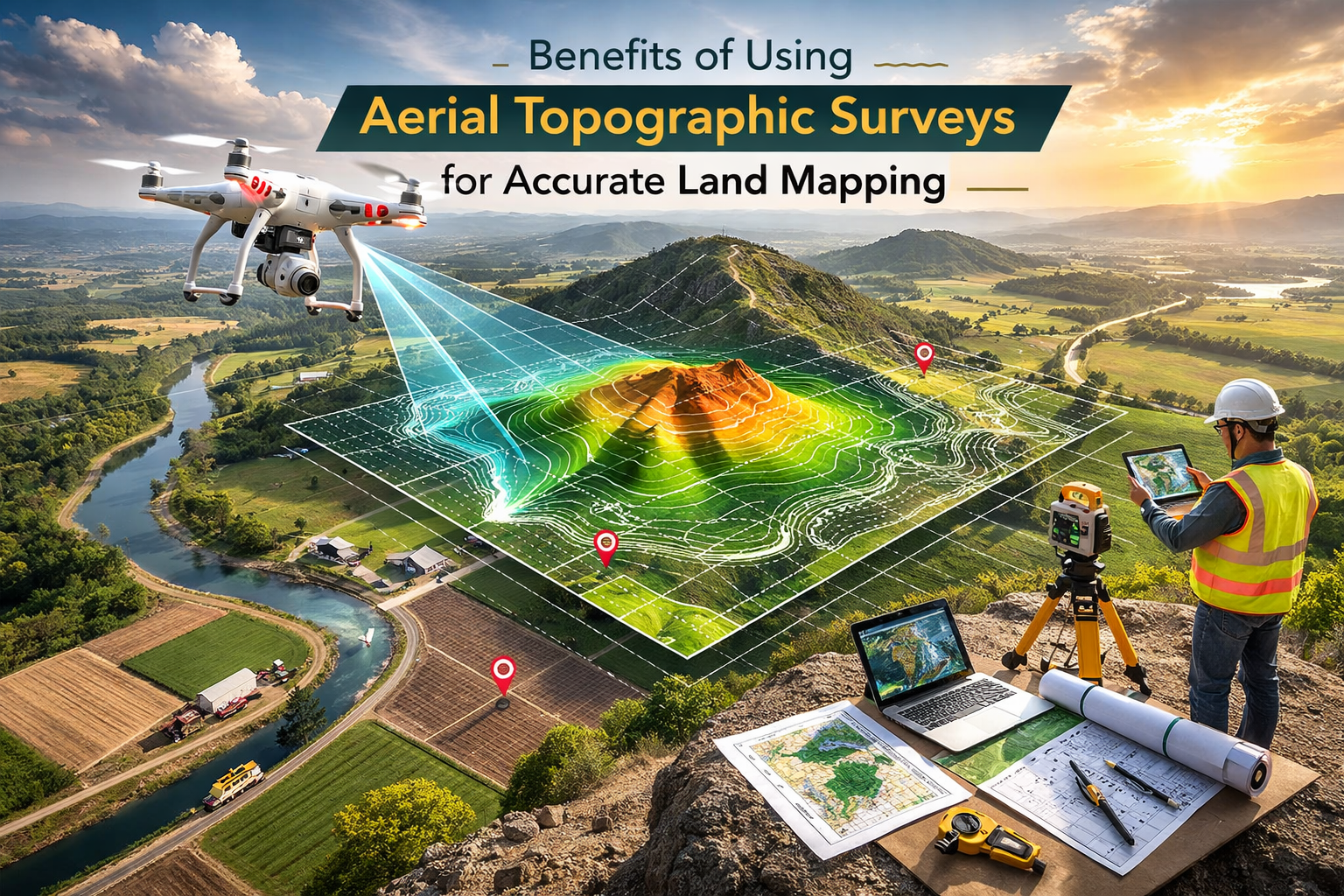
Land Mapping and LiDAR Services: Costs, Benefits & Key Applications Objective This article explains what land mapping and LiDAR services are, how much they cost,