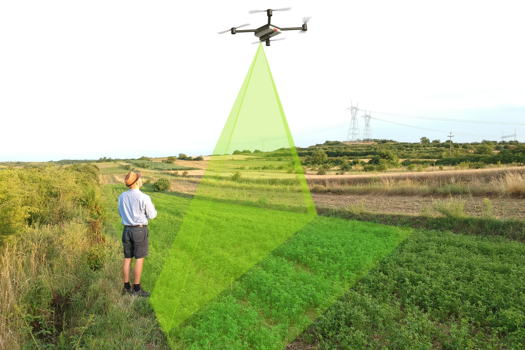
When it comes to securing your property rights, understanding the exact lines of your land is essential. This is the reason the team of Drone LiDAR Mapping Services provides an exclusive Drone Boundary Survey with LiDAR that combines modern technology alongside conventional land surveys. If you’re looking for a reliable land survey drone solution to define your property limits, this service is designed for you.
If you’re purchasing a piece of land, constructing your property, or intending to build a fence, an accurate boundary survey will give you assurance and clarity. By obtaining a boundary survey:
You may be wondering about the drone boundary survey price, what drives it, and what you should expect. Here are the key influencing factors:
Once your boundary survey is complete, you’ll typically receive:
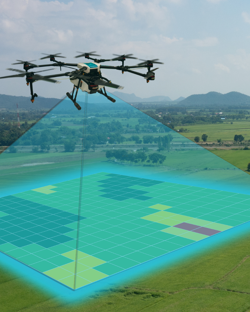
How Drone-Based Technology Elevates Boundary Surveys
Using a land survey drone equipped with LiDAR offers several advantages:
We’re more than just a drone survey company; we’re your dedicated partner in getting property lines defined with clarity. Our nationwide team supports property owners, developers, and real estate professionals alike. Whether you’re preparing for a land transaction, major construction, or subdivision, we deliver the documentation, accuracy, and responsiveness you need.

If you’re ready for a professional Drone LiDAR Boundary Survey, give us a call or fill out our online quote form. We’ll walk you through the process, provide an estimate for the drone boundary survey price, and schedule fieldwork that fits your timeline.
Protect your investment with precise, drone-enabled boundary surveying. Let us help you move forward with confidence.
Protect your investment with accurate, cost-effective boundary surveying—reach out to Drone Lidar Mapping Services today!

Count on us for precise, detailed boundary surveys that safeguard your land transactions and development plans. Our national network of surveyors and drone LiDAR specialists is committed to delivering reliable, high-quality results—every time.
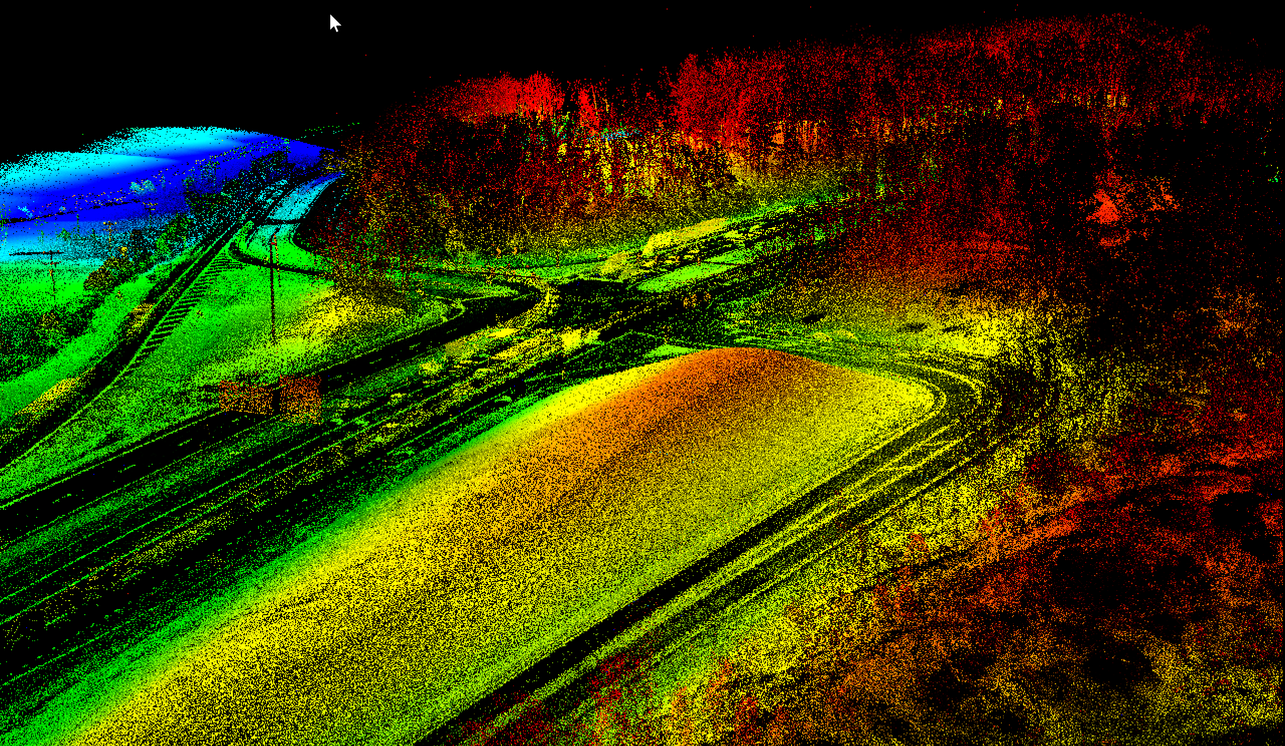
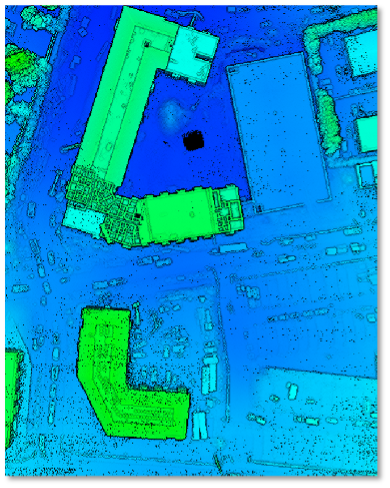
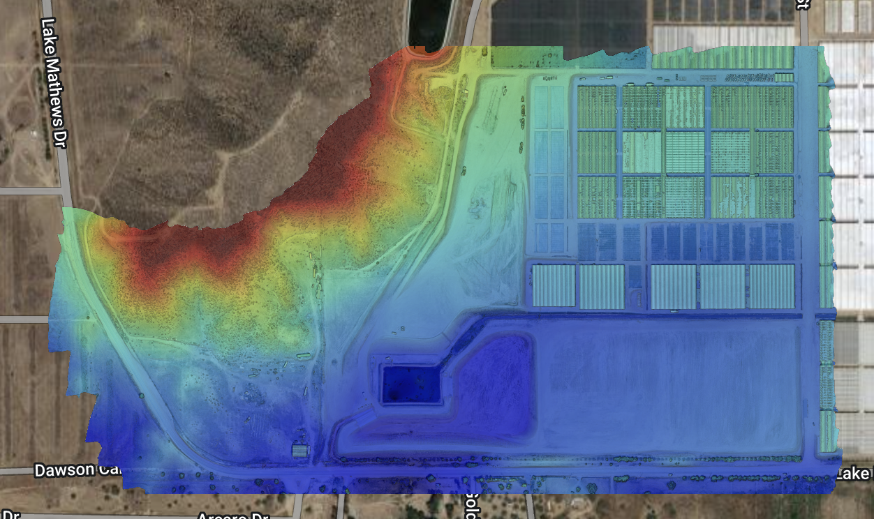
It’s the use of drone-mounted LiDAR sensors combined with traditional surveying to locate and record property boundaries precisely and efficiently.
The drone boundary survey price depends on property size, terrain, research needed, and marker condition. We’ll provide a detailed quote after reviewing your site.
Very accurate. With drone LiDAR technology and licensed surveyors verifying results, you get detailed and reliable boundary mapping for your property.
Schedule when vegetation is minimal (late fall, winter) for clearer views, or before building fences/structures. Doing it before you buy or sell is also wise.
Yes. A proper property boundary survey meets professional standards and can be used for permitting, transactions, or dispute resolution.
Drone Lidar Mapping company provides nationwide drone lidar mapping. Topographic Surveys, boundry ALTA Land Surveys, drone land surveys and construction aerial mapping & monitoring-delivering high precision aerial data to help you plan, build, and succeed.