At Drone LiDAR Mapping, we specialize in ALTA/NSPS Land Title Surveys performed under the “Minimum Standard Detail Requirements and Accuracy Standards for ALTA/NSPS.” These standards are developed jointly by title and surveying professionals, so every commercial or multi-family property survey stays consistent and trustworthy across states.
An ALTA (American Land Title Association) Title Survey goes beyond a basic boundary survey. It follows a nationally accepted protocol so that lenders, title companies, and property owners in different states can confidently interpret the data. While local rules vary, ALTA standards create a common benchmark everyone understands.


Because ALTA/NSPS is a national standard, it gives confidence when multiple parties (owners, lenders, insurers) are in different places.
Many title insurers, lenders, along real estate experts need ALTA surveys, particularly for complex or large transactions. Even when not strictly required, using ALTA standards gives your team better confidence and clarity.

ALTA standards offer a uniform range of work throughout states, making it simpler for title firms for insurance companies to offer policies and control their financial exposures.
An ALTA survey identifies possible encroachments and easements recorded. The question of whether an issue is an actual encroachment is an issue of law; however, the fact that it is plotted can help all parties to make informed decisions.
Lawyers, lenders, surveyors, and professionals in the field of title all know ALTA requirements, making it easier to understand and simplify transactions.
The surveyor is typically provided with title commitment papers prior to finalizing the survey to ensure precision in the boundary lines, easements, as well as any other pertinent information.
Table A in the ALTA standards contains optional elements (e.g., flood zones and utility locations) that can be requested from the beginning, which will prevent unintentional changes later on.
A completed ALTA survey allows many standard title exceptions, like encroachments, to be specifically addressed or removed, reducing title insurer liability and lender risk.
The ALTA/NSPS requirements have been used since 1988 and are regularly revised to reflect new technologies (e.g., drone-based LiDAR), changes in real estate law, and modern surveying practices.
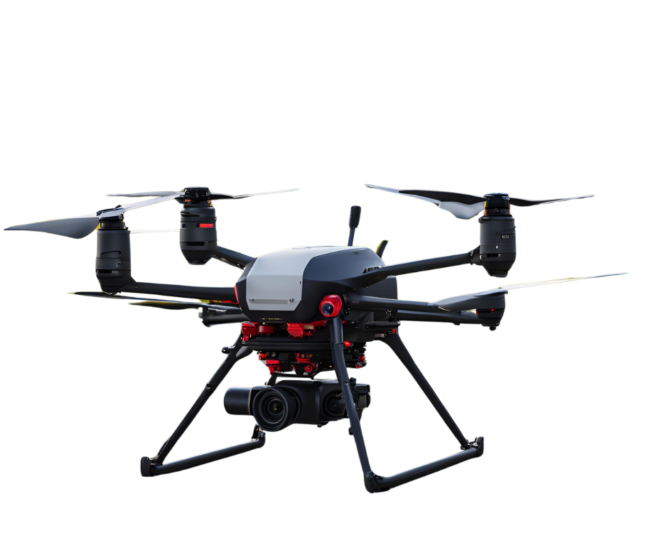
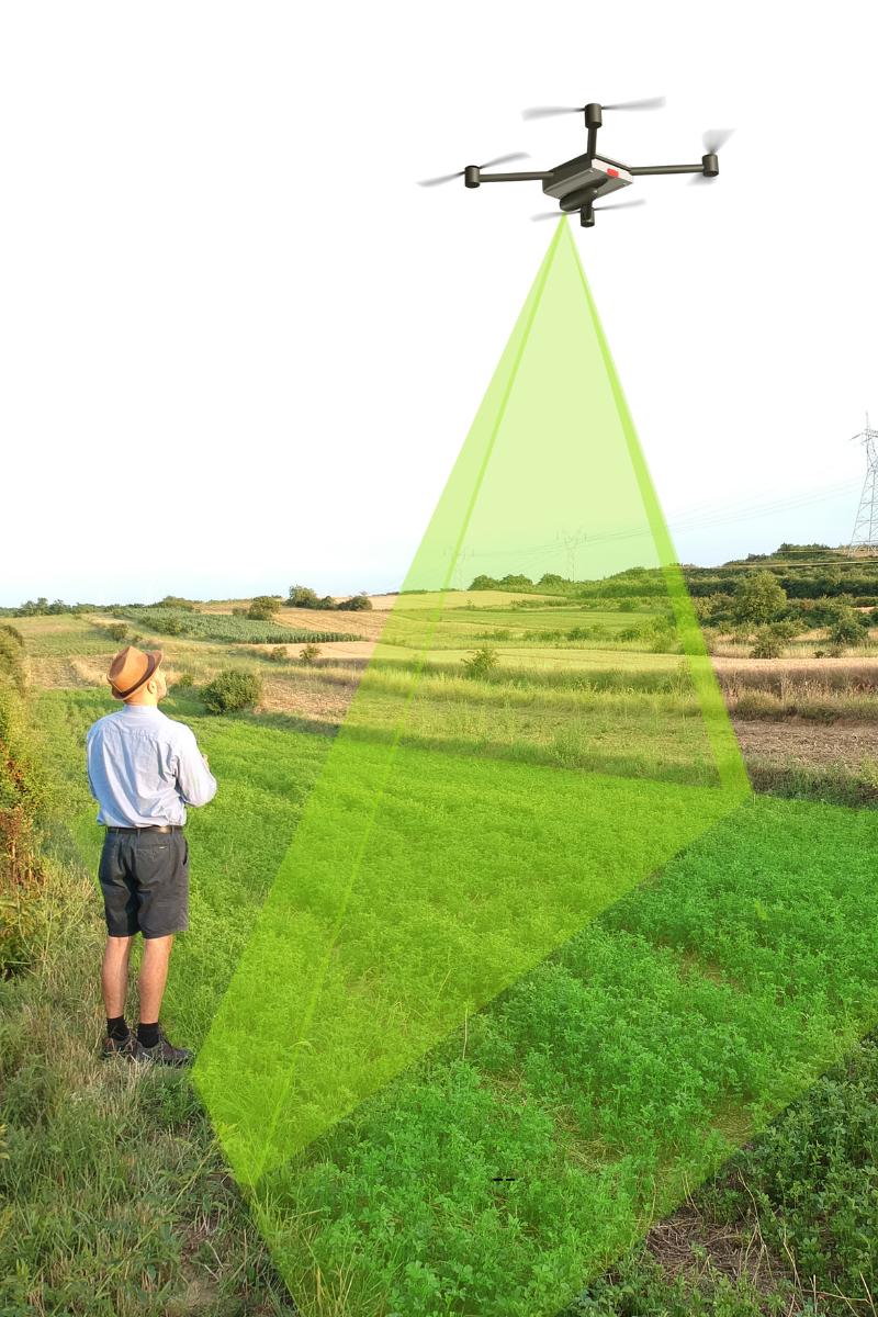
We integrate land surveying drones and LiDAR drone surveying into the ALTA survey workflow, especially when covering large or remote properties. By integrating drone LiDAR:
By combining drone data with ground-truth control, we deliver ALTA-compliant surveys with enhanced accuracy and speed.
ALTA surveys typically cost more than a normal boundary survey due to the additional documents, standards, and additional duties (Table A. Items). Major cost drivers:
To keep costs efficient, provide all title documents and optional requests (Table A) early; this helps prevent surprises later.


If you’re working on a commercial or multi-family property, refinancing, or cross-state transactions, an ALTA/NSPS Land Title Survey gives you clarity and trust. Drone LiDAR Mapping Services is ready to deliver:
Contact us today via form or call us at (877) 355-3518. We’ll guide you through the process and help you meet all ALTA survey requirements with confidence.
Leverage our nationwide system of licensed surveyors from the state, as well as FAA Part 107 certified pilots, to manage ALTA surveys and drone LiDAR mapping, and a complete range of aerial surveys. We’re looking forward to assisting you in navigating, plan, and concluding your commercial real property deals with confidence.
An ALTA/NSPS survey is based on the national standard that covers additional aspects (like easements and encroachments, and utilities) in addition to local boundary laws, which makes it more thorough and widely accepted.
Usually, fifty 20% to 200% greater, depending on Table A elements added as well as site complexity and additional documentation requirements.
Yes. If combined with ground control systems and certified survey methods, Land surveying drones, as well as LiDAR, increase the density of data and speed, while preserving ALTA-level accuracy.
Costs are based on factors like the dimension of the terrain, the area needed for resolution, and other tasks. The more information and features you require, the greater the price.
Begin by discussing your title, commitment, site plan, and goals with an expert surveyor. They’ll go over the necessary table A items, site issues, and regulations, and then provide a customized estimate of costs.
Drone Lidar Mapping company provides nationwide drone lidar mapping. Topographic Surveys, boundry ALTA Land Surveys, drone land surveys and construction aerial mapping & monitoring-delivering high precision aerial data to help you plan, build, and succeed.