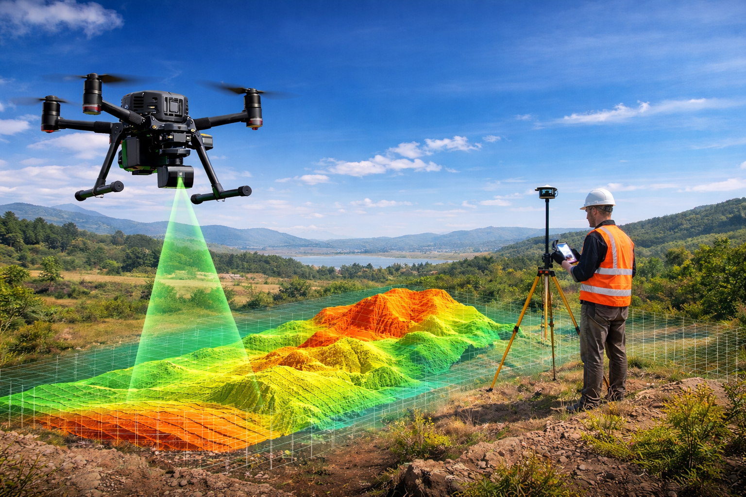
Drone Land Surveying
How Drones Enhance Land Mapping and LiDAR Services for Faster Results ?
The surveying and mapping industry has experienced rapid development because of the newly developed drone technology. Traditional land surveys once required large crews, heavy equipment,