Boundary Survey
- Home
- Boundary Survey
Boundary Surveying Services
At Drone Lidar Mapping Services, we offer boundary surveying solutions to help property owners, developers, and real estate professionals accurately define and protect their land. By combining traditional surveying practices with drone-based LiDAR technology, we can quickly and precisely locate property lines, mark encroachments, and identify easements—all while reducing time, cost, and potential disputes.
Why Do You Need a Boundary Survey?
- Establish Exact Property Boundaries
Ensure you know precisely what you’re buying or selling—no guesswork, no surprises. - Identify Easements
Discover any utility rights-of-way (e.g., water, sewer, drainage, power lines) that could impact property use. - Pinpoint Encroachments
Determine if fences, driveways, or buildings cross property lines. - Accurate Location of Structures
Get precise measurements and locations for houses, barns, sheds, or any other improvements. - Fence & Construction Planning
Mark your property lines to build fences or structures without risking encroachment on neighboring parcels. - Subdivision & Lot Splits
A boundary survey is the first step toward subdividing land for development or transferring property among family members.
Compliance & Peace of Mind
Boundary surveying ensures any new structures—like buildings or additions—remain on the correct lot and clear of easements.
How Much Does a Boundary Survey Cost?
A boundary survey’s cost can vary based on multiple factors:
- Property Size & Terrain
Larger or more complex parcels (steep slopes, heavy vegetation) require more time and effort. - Deed Research
The depth of historical record checks in the courthouse can increase cost if the chain of title is long or complex. - Monument Condition
If existing corner markers are missing or inaccurate, extra steps are required to reset them. - Season & Vegetation
Dense foliage may slow down fieldwork; winter surveys often help reveal clear sightlines.
Money-Saving Tip: If you need boundary lines flagged or marked more extensively, consider scheduling this work during colder months when leaves and undergrowth are minimal. This could lower fieldwork time and costs.
- Property Size & Terrain

What to Expect When the Survey Is Complete
Once the boundary survey is finished, you can expect:
- Marked or Flagged Property Corners
Surveyors often use brightly colored ribbon, paint, or stakes around property corners. Newly set markers are labeled with the surveyor’s registration details. - Visible Line Markings
If requested, corners can be flagged at regular intervals along the boundary lines. Landowners may replace flags or stakes with more durable markers (metal posts, for example). - Survey Drawing
A formal drawing (often in digital and/or printed format) showing bearings, distances, easements, encroachments, and any new or existing monuments. This document is crucial for legal clarity and future reference. - Long-Term Maintenance
We recommend walking your property lines periodically, refreshing markers and ensuring no one has altered or removed monuments.
Drone LiDAR Mapping & Boundary Surveying
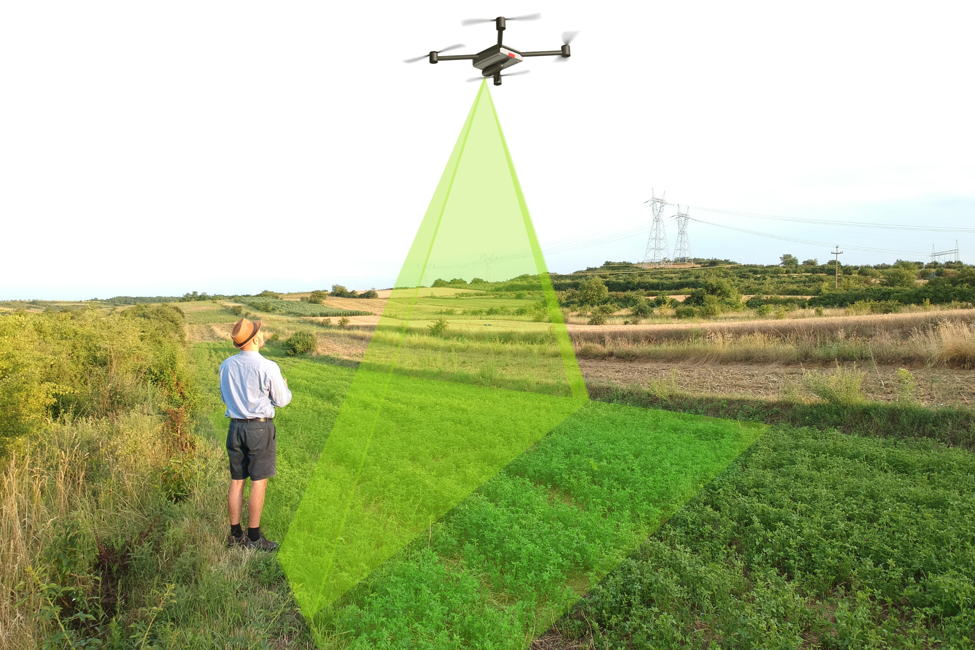
Drone-based LiDAR accelerates data collection and increases precision:
- Faster Turnaround
Cover large areas quickly, reducing field time and labor costs. - High-Resolution Data
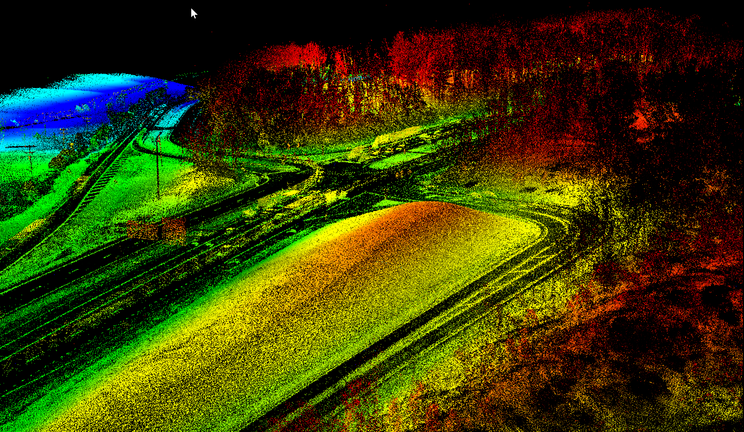
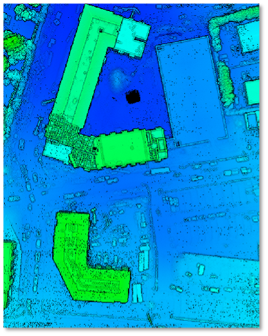
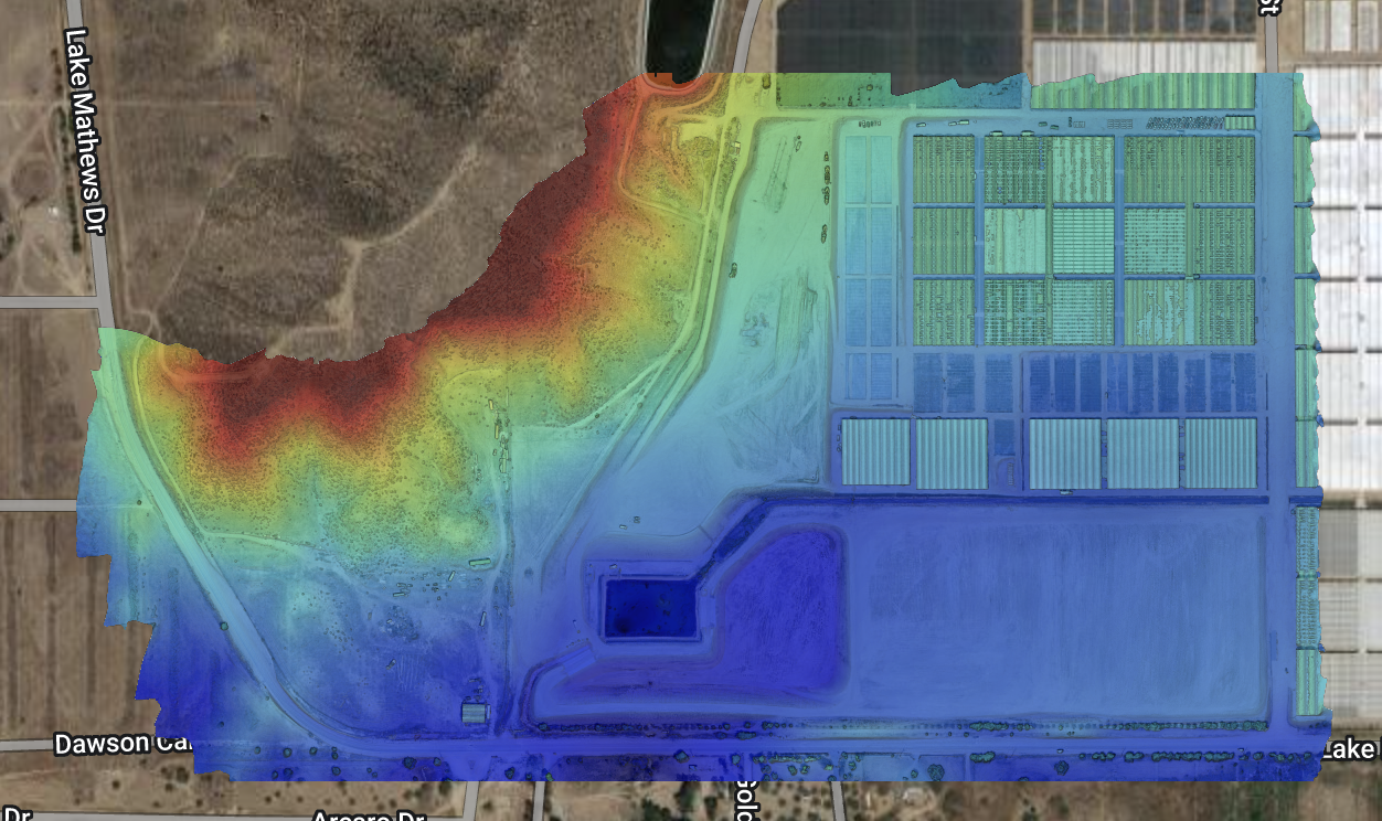
Generate detailed 3D models of terrain, improvements, and foliage layers that can affect property boundaries. - Remote & Difficult Terrain
Access areas that might be challenging for on-foot surveyors, minimizing safety risks and logistical hurdles.
Our team of FAA Part 107 certified remote pilots and licensed surveyors seamlessly merges fieldwork with drone LiDAR scans to verify corners and clarify property lines, delivering comprehensive and reliable results.
- Marked or Flagged Property Corners
Ready to Get Started?
At Drone Lidar Mapping Services, we aim to simplify the boundary surveying process, combining traditional expertise with state-of-the-art drone technology. Whether you’re planning a land sale, subdivision, fence installation, or major development, let us provide the clarity and confidence you need.
Call us at (877) 355 – 3518 to discuss your boundary survey.
Or fill out our contact form to request a personalized quote.
Protect your investment with accurate, cost-effective boundary surveying—reach out to Drone Lidar Mapping Services today!

Drone Lidar Mapping Services — Your Partner for Boundary Surveys
Count on us for precise, detailed boundary surveys that safeguard your land transactions and development plans. Our national network of surveyors and drone LiDAR specialists is committed to delivering reliable, high-quality results—every time.
