The objective of this blog is to help landowners, developers, engineers, and construction professionals know how drone-based surveys work and the reasons they are becoming more prevalent in modern construction projects. This guide provides information on the methods, tools and benefits, as well as the costs and practical applications of advanced surveying, so that you can make informed choices confidently.
What if mapping hundreds of acres no longer meant weeks of fieldwork, heavy equipment, and constant delays, but instead started with a single drone flight?
Here’s the thing: land surveys are no longer slow, ground‑only operations. Today, developers, engineers, and property owners are rethinking how land data is captured, reviewed, and used. Drone land surveying has become a practical option for projects that demand speed, accuracy, and better visibility of terrain, without cutting corners on quality or standards.
Did you know? Industry studies show that drone‑based surveys can reduce field time by more than 50% compared to traditional methods, while still delivering survey‑grade results when combined with professional oversight and proper controls. That’s why more projects now rely on aerial data to guide early decisions, approvals, and construction planning.
In this guide, we’ll break down what drone land surveying really means, how it works, where it shines, and when it makes sense for your project, using real‑world practices reflected by professional providers from Drone LiDAR Mapping.
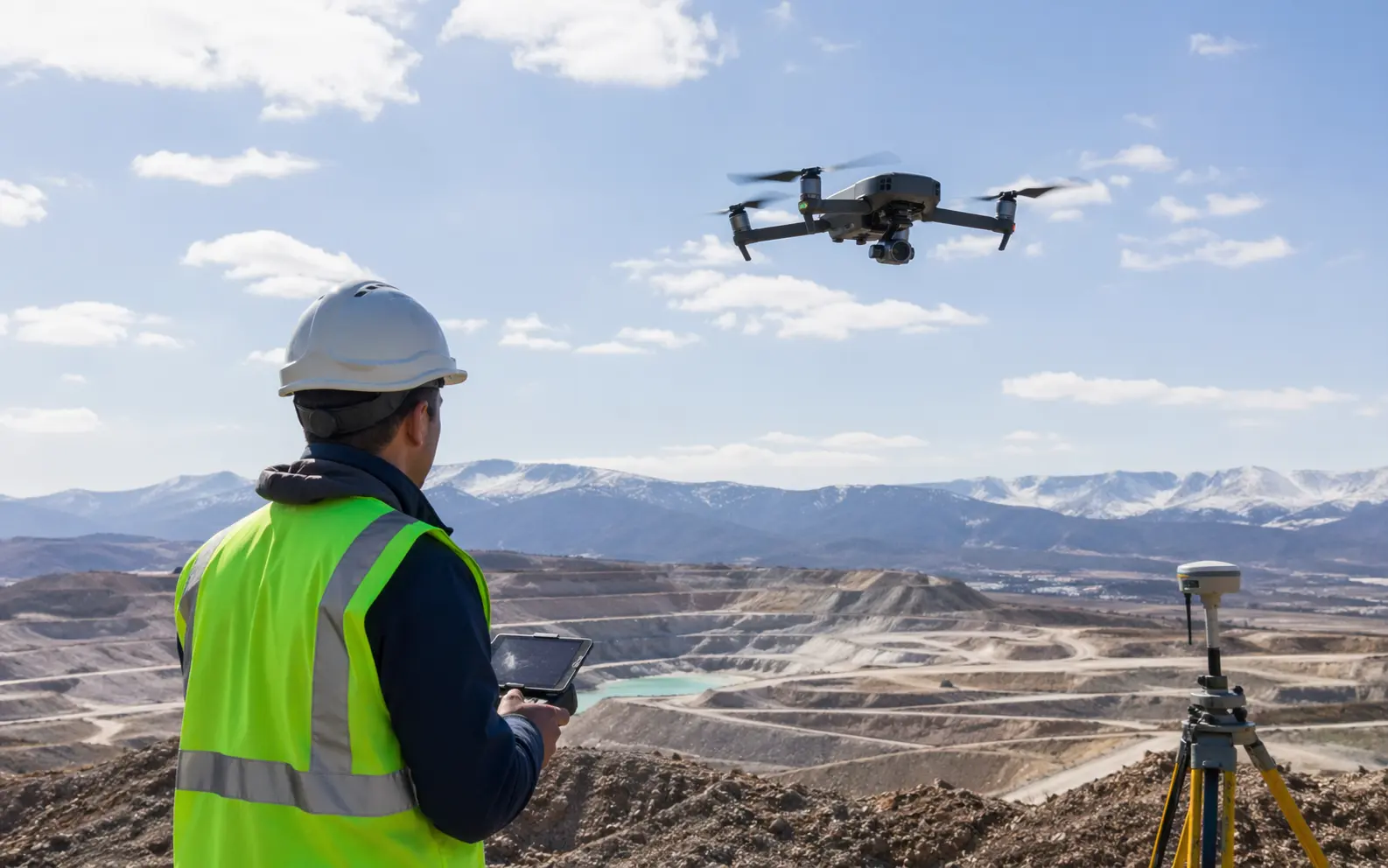
At its core, Drone Land Surveying uses unmanned aircraft equipped with sensors to collect land data from above. Instead of relying only on crews walking the site, drones scan terrain, structures, and boundaries from the air and turn that information into detailed digital outputs.
These outputs often include:
What this really means is that surveyors and project teams can understand a site long before heavy work begins. Slopes, drainage paths, tree cover, and existing features become visible early, often within days rather than weeks.
Land development today moves fast. Designs change, approvals stack up, and errors cost money. That’s where aerial surveying technology proves useful.
Modern drones use:
Together, these tools gather millions of data points that describe the ground surface in detail. This method reduces visits to the site and assists teams in planning with confidence.
Land measurement using drones supports:
Instead of awaiting regular site visits on the ground, groups look over the latest site models when required.
Let’s break it down step by step, using workflows followed by professional survey firms.
The procedure typically includes:
This systematic approach provides an explanation of why drone-surveying can be done without compromising the standards required by surveyors and engineers.
The processed data is:
These geospatial mapping solutions are easy to integrate into the CAD and GIS platforms utilised by design and development teams.
Not all drone surveys are the same. The sensor used determines what kind of data you receive.
LiDAR vs photogrammetry often comes down to site conditions.
LiDAR is the preferred choice for areas with wooded features as well as elevation work, whereas photogrammetry is a great tool for detailed visuals and surfaces.
Typical survey drone systems include:
These tools turn aerial data into survey‑ready outputs when managed correctly.
Speed is only one part of the tale. The real value is in making better choices.
The main advantages are:
The benefit of land surveying by drones helps with better planning right from the beginning.
Property boundary survey drones help identify:
While final boundary decisions remain with licensed surveyors, aerial data improves clarity early on.
Comparisons are crucial when timelines and budgets are strained.
Drone vs traditional surveying differs in:
Traditional methods are still able to support legal certifiability, but drones can reduce the number of visits to a website.
Costs vary, but expectations should stay realistic.
The cost of a drone land survey depends on:
More detail and complexity increase processing time and effort.
Fewer delays, clearer designs, and less rework often offset initial survey costs.
Professional land mapping drone services are most useful for:
Paired with experienced survey teams, they support reliable project outcomes.
Here’s a common scenario: A development team needs elevation data for a multi‑acre site with mixed vegetation. LiDAR scanning drones capture terrain beneath tree cover in days. Engineers receive surface models early, avoiding redesigns later.
Modern projects move faster due to this blend of aerial data and survey expertise.
Technology alone isn’t enough.
Make sure your provider offers:
Drone LiDAR Mapping focuses on accuracy, compliance, and delivering usable results—not just flights—while Skyelink serves as its main platform driving innovation and service excellence.
Land projects succeed when teams see the full site early and often. A drone land survey enables better decisions to be made sooner, minimises risks, and ensures consistent data throughout the surveying process.
When paired with experienced providers and professional review, drone surveys become a reliable part of modern land development, not a shortcut, but a smarter step forward.
Yes, when used with licensed survey oversight and proper controls.
With ground control and RTK/PPK systems, they achieve survey‑grade accuracy.
They support and streamline workflows but do not eliminate professional survey responsibilities.
Large, complex, or difficult‑access sites see the biggest gains.
Drone Lidar Mapping company provides nationwide drone lidar mapping. Topographic Surveys, boundry ALTA Land Surveys, drone land surveys and construction aerial mapping & monitoring-delivering high precision aerial data to help you plan, build, and succeed.