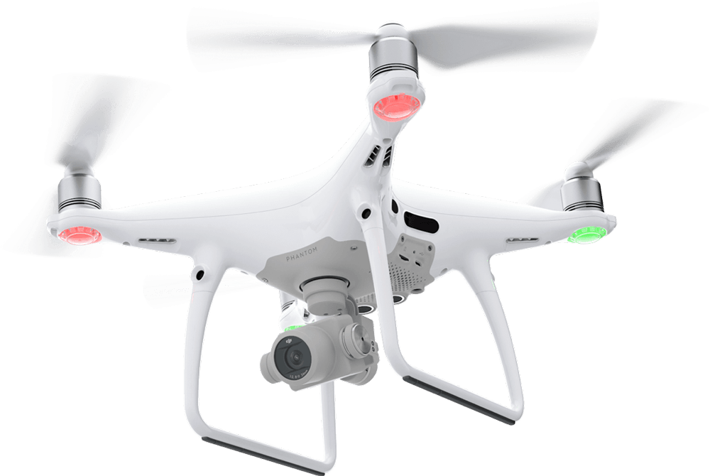
Welcome to Drone LiDAR Mapping, where cutting-edge technology meets unparalleled expertise to deliver accurate and efficient mapping solutions. We specialize in providing high-quality LiDAR (Light Detection and Ranging) mapping services using advanced drone technology. Our mission is to revolutionize the way businesses and industries collect, analyze, and utilize geospatial data.
At Drone LiDAR Mapping, we are a team of seasoned professionals with extensive experience in aerial surveying, geospatial analysis, and drone operations. Our passion for innovation and commitment to excellence have positioned us as leaders in the field of drone-based mapping services. We take pride in helping clients make informed decisions based on precise and reliable data.
Happy Client
0K+
Aerial Filming
0K+
Aerial Photography
0K+
Years Experience
0+
Comprehensive Geospatial Analysis & Mapping
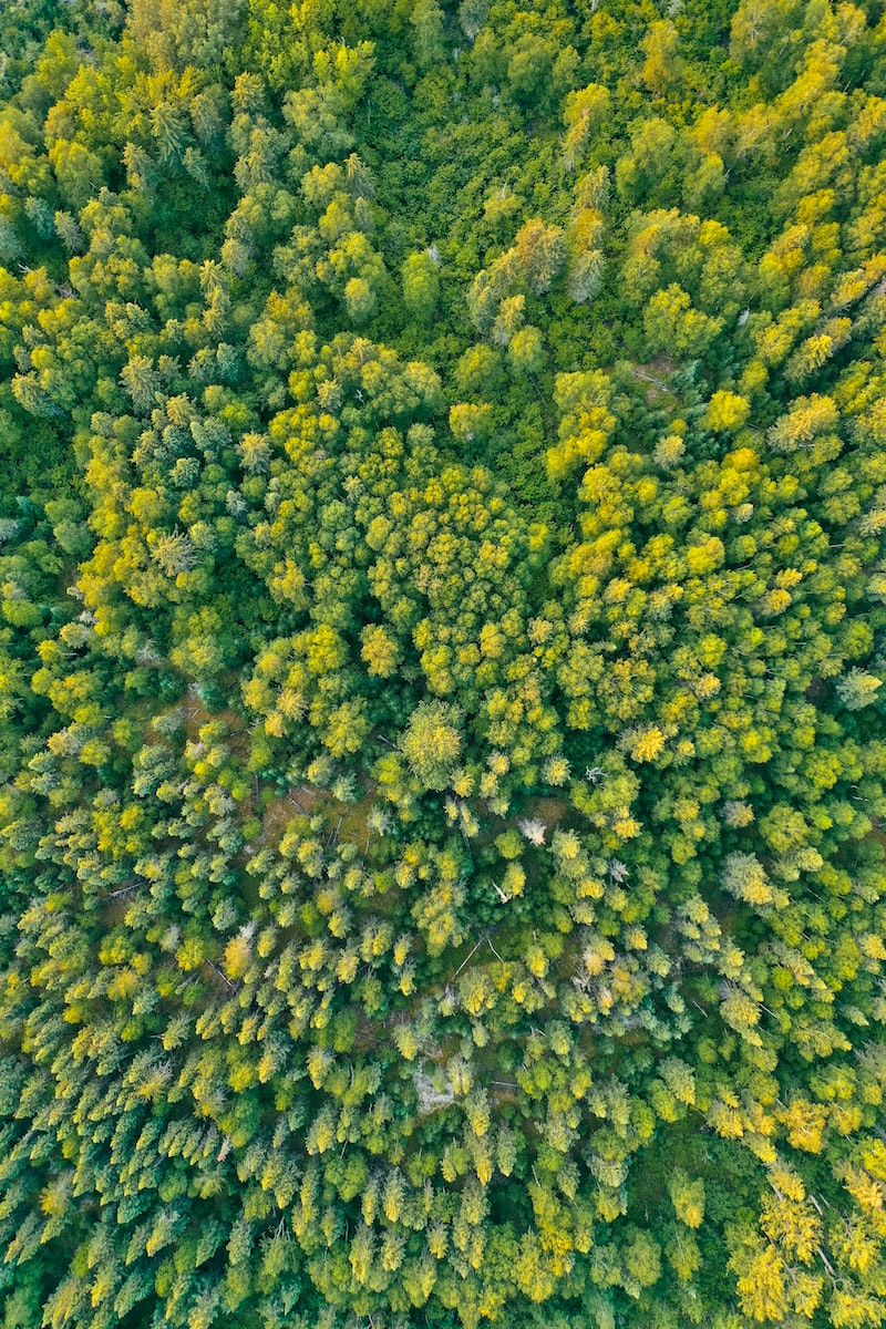
Drone Lidar Mapping Company’s aerial LiDAR technology offers businesses access to detailed geospatial data. With drone LiDAR, we provide:
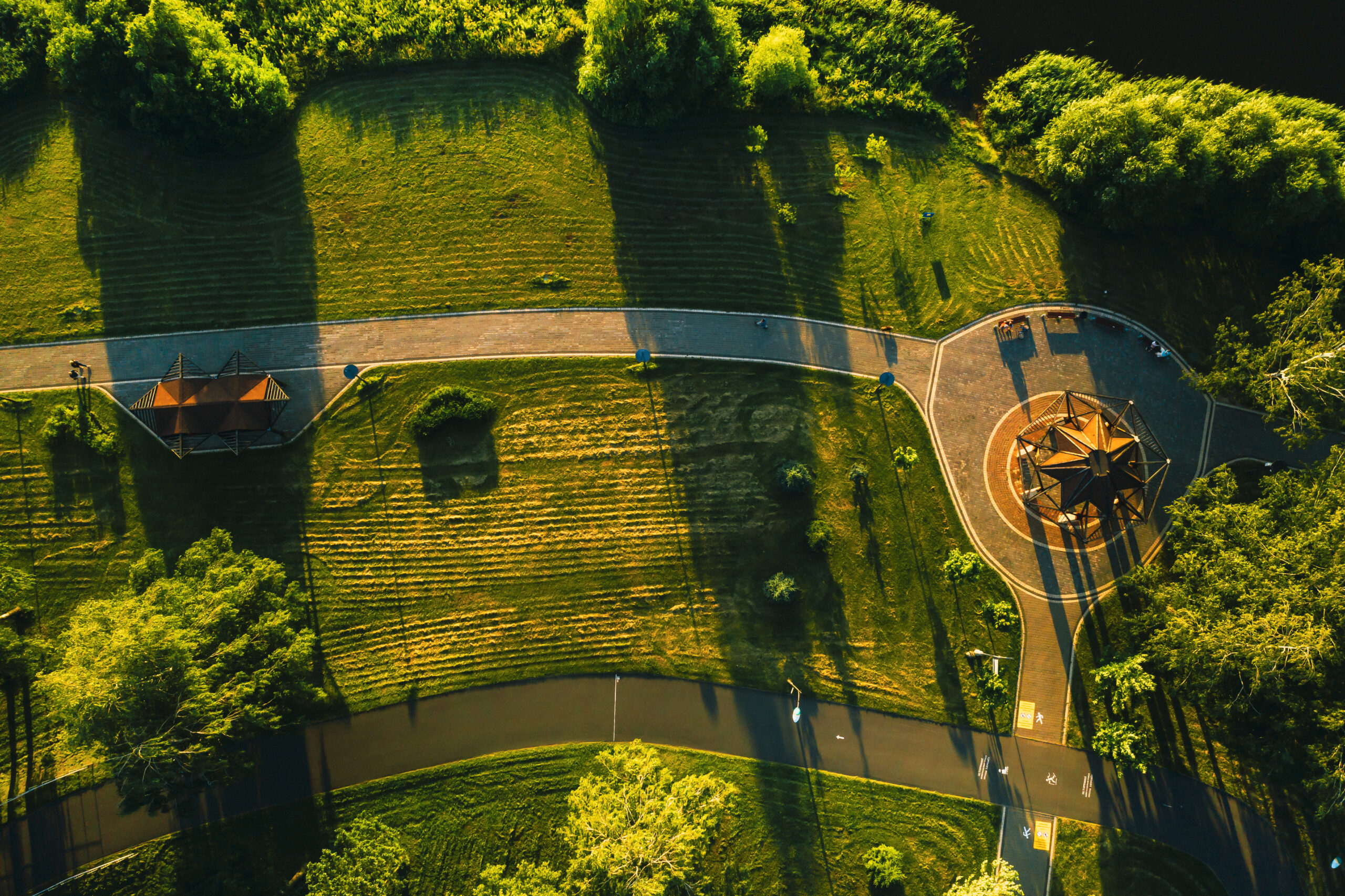
Cadastral & ALTA Surveys Drone-based LiDAR technology enables detailed cadastral and ALTA surveys, offering accurate 3D models for property mapping and land title verification.
Geospatial Analysis Analyze elevation data to assist with environmental impact assessments and land use planning.
3D Visualization Create highly accurate 3D models and point clouds for better analysis and decision-making.
Who we are?
Drone LiDAR Applications
Drone Lidar Mapping Company is a trusted partner for companies across various industries:
Land Development Streamline planning and design for residential, commercial, and infrastructure projects.
ALTA/NSPS Land Title Surveys Use our services to conduct ALTA/NSPS compliant surveys for property acquisition and development, ensuring accurate boundary data and reducing legal risks.
Boundary Surveys & Drone Land Surveys Determine exact property lines quickly, reducing disputes and ensuring accurate property divisions.
Solar Farm Development Plan, design, and optimize solar farm layouts using high-precision LiDAR-generated maps and aerial surveying data models.
Environmental Assessments Use our LiDAR and drone topography data to assess terrain and mitigate environmental risks.
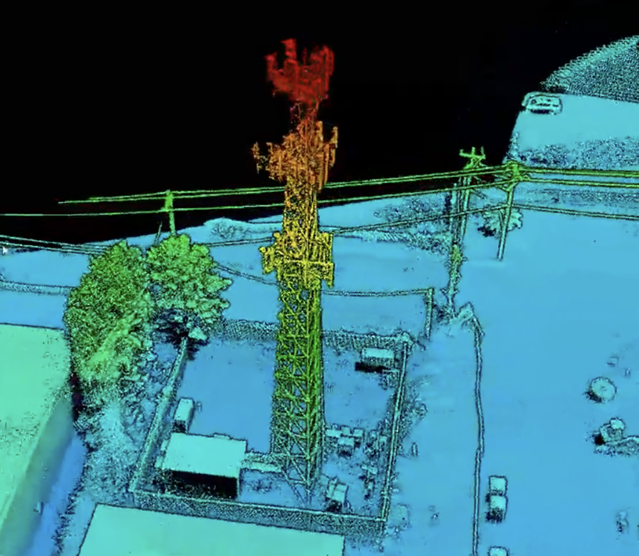
Utility & Infrastructure Planning Enhance powerline inspections, pipeline mapping, and other infrastructure projects with drone LiDAR technology.
As a national leader in drone-based aerial data solutions, Drone Lidar Mapping Company provides local expertise to businesses. Our turnkey drone services deliver high-precision aerial LiDAR data, 3D modeling, topographic surveys, ALTA surveys, and aerial mapping solutions that cater to a wide range of industries, including surveying, construction, and environmental planning. We handle everything from LiDAR corridor mapping to boundary surveys, drone land surveys, and as-built surveys.
Looking to enhance your project with drone-based LiDAR technology ? Contact Drone Lidar Mapping Company to get a customized quote and learn how our services—spanning drone topographic mapping, aerial surveying, ALTA surveys, and boundary surveys—can transform your surveying, mapping, or development project.
Harness the power of drones to save time, money, and resources while getting the precise, actionable data you need for any project. Experience the difference that drone LiDAR mapping can make in surveying, land development, construction, and beyond.