ALTA Survey with Drone LiDAR Mapping
- Home
- ALTA Survey
ALTA Survey Services
At Drone Lidar Mapping Services, we offer ALTA Land Title Surveys guided by the “Minimum Standard Detail Requirements and Accuracy Standards for ALTA/NSPS Land Title Surveys.” These standards are periodically updated through collaboration between title industry and surveying professionals, ensuring a uniform, consistent approach to surveying commercial and multi-family properties across the nation.
What Is an ALTA Survey?
An ALTA Title Survey is similar to a boundary or lot survey but goes beyond standard state requirements. It adheres to a nationally recognized set of protocols to ensure consistency, regardless of where the survey is conducted. While state standards can vary, ALTA surveys create a baseline that makes it easier for lenders, title companies, and property owners to interpret and rely on the survey data.


ALTA SURVEYS
Common Use Cases for ALTA Surveys:
- Commercial Properties
- Multi-Family Residential Sites
- Out-of-State Real Estate Transactions
- Property Refinancing & Title Insurance Requirements
Because the ALTA/NSPS standards serve as a “national standard,” they help lenders and owners—often located in different states—evaluate properties with confidence.
Time & Effort for ALTA Land Title Surveys
ALTA surveys typically require more time and resources compared to standard boundary surveys. This is due to the additional documentation, accuracy checks, and standardized procedures involved.
Higher Costs: ALTA surveys can be 50% to 200% more expensive than comparable boundary surveys.
Table A Considerations: The Table A – Optional Survey Responsibilities and Specifications includes tasks that can be added to the scope of work, potentially impacting both cost and survey duration. For instance, Item #1 (placing monuments) is commonly requested.
Why alta surveys?
Why ALTA Surveys Are Often Preferred
Many commercial lenders, title companies, and real estate professionals recommend or require an ALTA survey. This is especially common for commercial transactions, multi-family developments, and interstate property purchases. Even if a lender doesn’t mandate an ALTA survey, using ALTA standards can give property owners and developers greater peace of mind, thanks to its comprehensive approach and consistent results.


ALTA SURVEYS
7 Advantages of Using the ALTA Survey Standards
- Uniform Nationwide Standard
ALTA standards provide a consistent scope of work across all states, making it easier for title companies to issue insurance policies and manage financial risks. - Encroachments & Easements Clearly Shown
Potential encroachments and recorded easements are identified on the ALTA survey. Whether an issue constitutes a true encroachment is ultimately a legal determination, but having it plotted helps all parties make informed decisions. - Familiarity Among Industry Professionals
Lenders, attorneys, surveyors, and title professionals all understand ALTA requirements, reducing confusion and streamlining transactions. - Title Research Integration
The surveyor typically receives title commitment documents before finalizing the survey, ensuring accuracy in boundary lines, easements, and any other relevant details. - Table A Customization
Table A in the ALTA standards includes optional items (e.g., flood zone classification, utility locations) that can be requested at the outset, preventing unexpected change orders later on. - Removal of Title Exceptions
A completed ALTA survey allows many standard title exceptions—like encroachments—to be specifically addressed or removed, reducing title insurer liability and lender risk. - Consistent, Updated Standards
The ALTA/NSPS requirements have been used since 1988 and are regularly revised to reflect new technologies (e.g., drone-based LiDAR), changes in real estate law, and modern surveying practices.
Why alta surveys?
ALTA Surveys & Drone LiDAR Mapping
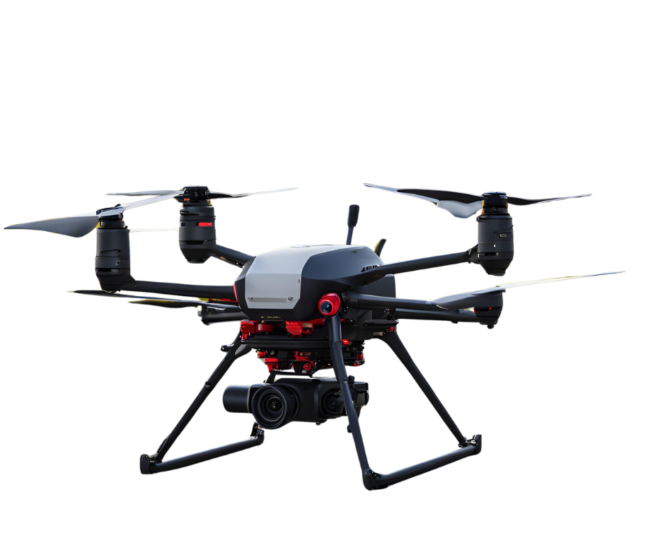
While an ALTA survey traditionally involves on-the-ground fieldwork, drone LiDAR technology can enhance the data collection process by capturing detailed elevation points, identifying potential encroachments, and speeding up certain aspects of survey work, especially for large or remote sites. By integrating drone LiDAR:
- Faster Data Acquisition: Cover large areas in a fraction of the time.
- High-Resolution Imagery & Elevation Models: Gain more insight into the property’s terrain and existing structures.
- Efficient Access to Remote Areas: Drones can map regions that are difficult or hazardous for surveyors to reach on foot.
ALTA Survey Costs
Given the in-depth nature of ALTA surveys, they cost more than standard boundary surveys. Each project’s final cost largely depends on:
- Scope of Table A Items
- Property Size & Complexity
- Existing Documentation & Accessibility
For maximum efficiency and cost-effectiveness, it’s crucial to coordinate with the surveyor early on, ensuring that all necessary title documents and optional Table A items are provided before the survey begins.


Get Started with Your ALTA Survey
If you’re purchasing, developing, or refinancing a commercial or multi-family property, an ALTA survey can provide the comprehensive detail you need. From boundary determinations to mapping encroachments and easements, Drone Lidar Mapping Services delivers reliable, ALTA-compliant results.
Ready to discuss your project?
Fill out our contact form, or
Call us at (877) 355 – 3518 for more information.
Our licensed surveyors and drone LiDAR specialists work seamlessly to ensure your ALTA Land Title Survey meets the highest standards of accuracy and clarity, anywhere in the nation.
Drone Lidar Mapping Services — Your Partner for ALTA Surveys
Leverage our national network of state-licensed surveyors and FAA Part 107 certified pilots to handle ALTA surveys, drone LiDAR mapping, and a full suite of aerial surveying services. We look forward to helping you navigate, plan, and finalize your commercial real estate transactions with confidence.
