Uncategorized
Exploring the Power of Drone LiDAR Mapping for Precision Surveys
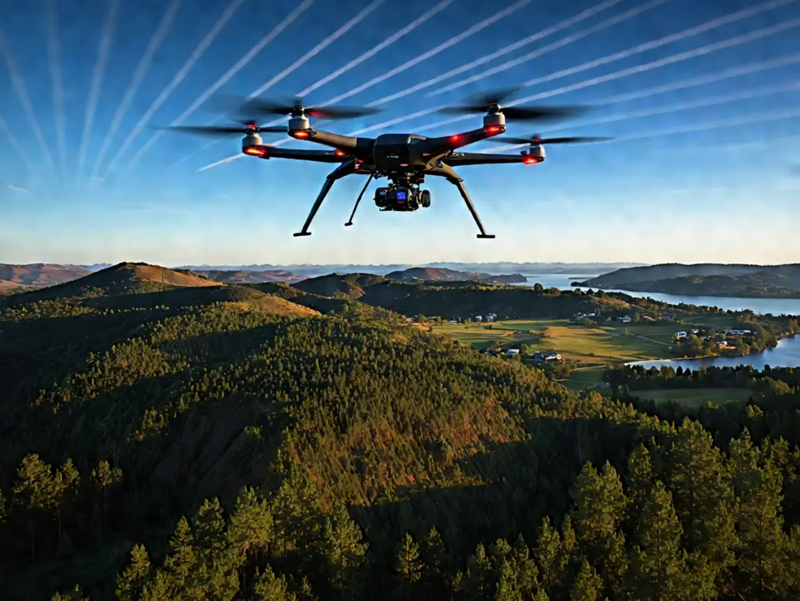
In the world of modern surveying and mapping, Drone LiDAR (Light Detection and Ranging) technology is revolutionizing how we capture and analyze terrain data. At
In the world of modern surveying and mapping, Drone LiDAR (Light Detection and Ranging) technology is revolutionizing how we capture and analyze terrain data. At