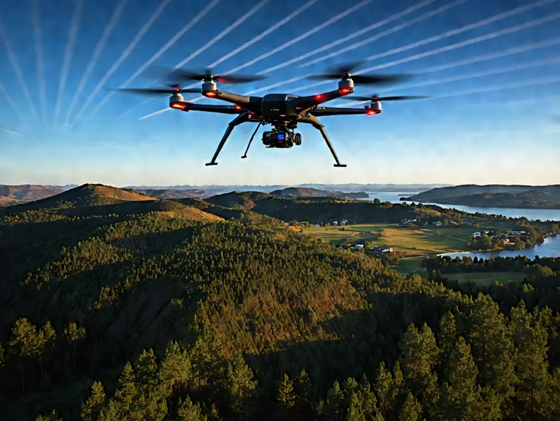
Why Are Drone Boundary Surveys Cost-Effective for Landowners?
Landowners need to know the geographic boundaries of their property for legal clarity and development planning and to avoid costly disputes. In the traditional context, boundary

Landowners need to know the geographic boundaries of their property for legal clarity and development planning and to avoid costly disputes. In the traditional context, boundary

The days of surveying with a pencil and paper are long gone. Drones have completely changed the surveying and mapping game and allow for faster, safer, and

The world of surveying is ever-changing; the advent of adjustments such as drones and aerial LiDAR has produced a paradigm shift in not only traditional practices

Drone Lidar Mapping company provides nationwide drone lidar mapping. Topographic Surveys, boundry ALTA Land Surveys, drone land surveys and construction aerial mapping & monitoring-delivering high precision aerial data to help you plan, build, and succeed.