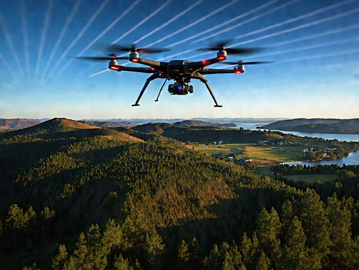
In the world of modern surveying and mapping, Drone LiDAR (Light Detection and Ranging) technology is revolutionizing how we capture and analyze terrain data. At DroneLiDARMapping.com, we specialize in providing cutting-edge solutions for accurate and efficient geospatial mapping services using advanced drone-mounted LiDAR systems.
What is Drone LiDAR Mapping?
Drone LiDAR mapping involves equipping drones with LiDAR sensors that emit laser pulses to measure distances between the sensor and the ground. This data creates high-resolution, three-dimensional maps of the terrain, making it ideal for industries requiring precision mapping, such as construction, agriculture, forestry, and environmental monitoring.
Benefits of Drone LiDAR Mapping
- Unmatched Accuracy: LiDAR captures data with incredible precision, even in dense vegetation.
- Efficiency: Drone LiDAR surveys cover large areas faster than traditional methods.
- Cost-Effective: Reducing manpower and equipment needs lowers overall project costs.
- Versatility: Applicable across various sectors, from infrastructure planning to disaster management.
- Enhanced Safety: Minimizes the need for surveyors to access hazardous or difficult terrains.
Industries Leveraging Drone LiDAR Technology
- Construction & Infrastructure: Site planning, volume calculations, and progress tracking.
- Forestry: Canopy analysis, biomass estimation, and forest management.
- Agriculture: Precision farming and crop health monitoring.
- Environmental Management: Floodplain mapping, erosion monitoring, and ecosystem analysis.
- Mining: Resource estimation and terrain mapping.
Why Choose DroneLiDARMapping.com?
At DroneLiDARMapping.com, we bring years of expertise in aerial LiDAR technology, ensuring our clients receive reliable, high-quality geospatial data tailored to their project needs. Our team is committed to staying at the forefront of technological advancements, offering customized solutions for complex mapping challenges.
Get Started Today!
Whether you need detailed topographic maps for a construction project or vegetation analysis for a conservation effort, DroneLiDARMapping.com is your trusted partner. Contact us today to explore how our drone LiDAR services can transform your mapping needs.
Stay tuned for more insights into the latest trends and innovations in drone technology!


