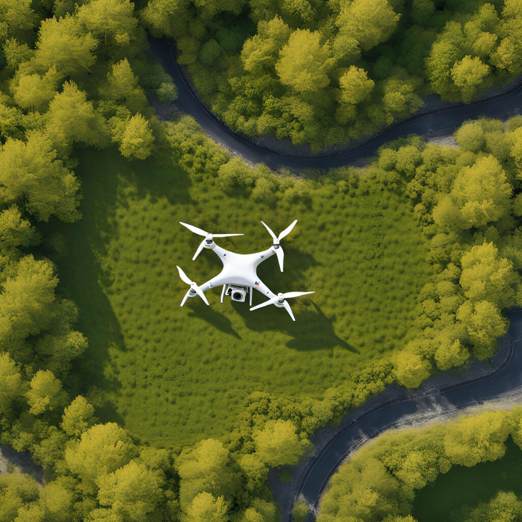
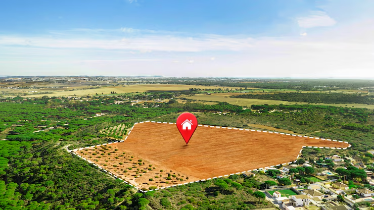
Landowners need to know the geographic boundaries of their property for legal clarity and development planning and to avoid costly disputes. In the traditional context, boundary surveys comprise costly, field-intensive, and time-consuming work. Nevertheless, technological advancements spearheaded the arrival of an all-new way to do land surveys — drone boundary surveys.
Land survey drone provides a cost-effective, quick, and efficient way of surveying the boundaries of land parcels like never before. This blog is going to delve into what makes drone boundary surveys such a cost-effective option for landowners, as well as how this technology can support your land management needs.
Benefit Of Drone Boundary Surveys
Reduced Labor Costs
Even normal boundary surveys require a few surveyors on the site for more than a few days, sometimes weeks. It is a rather “hands-on” process that includes physical measurements, physical markings, and frequent shuttling of specialized equipment to the site of use.
Drone surveys allow a single person to control the drone flight and data collection in a fraction of the time. That translates to a significant saving in workforce hours and workforce costs. That aerial data is processed through software, which reduces the number of people on site. This means that the total cost of a drone boundary survey is less than that of a traditional survey.
Faster Survey Completion
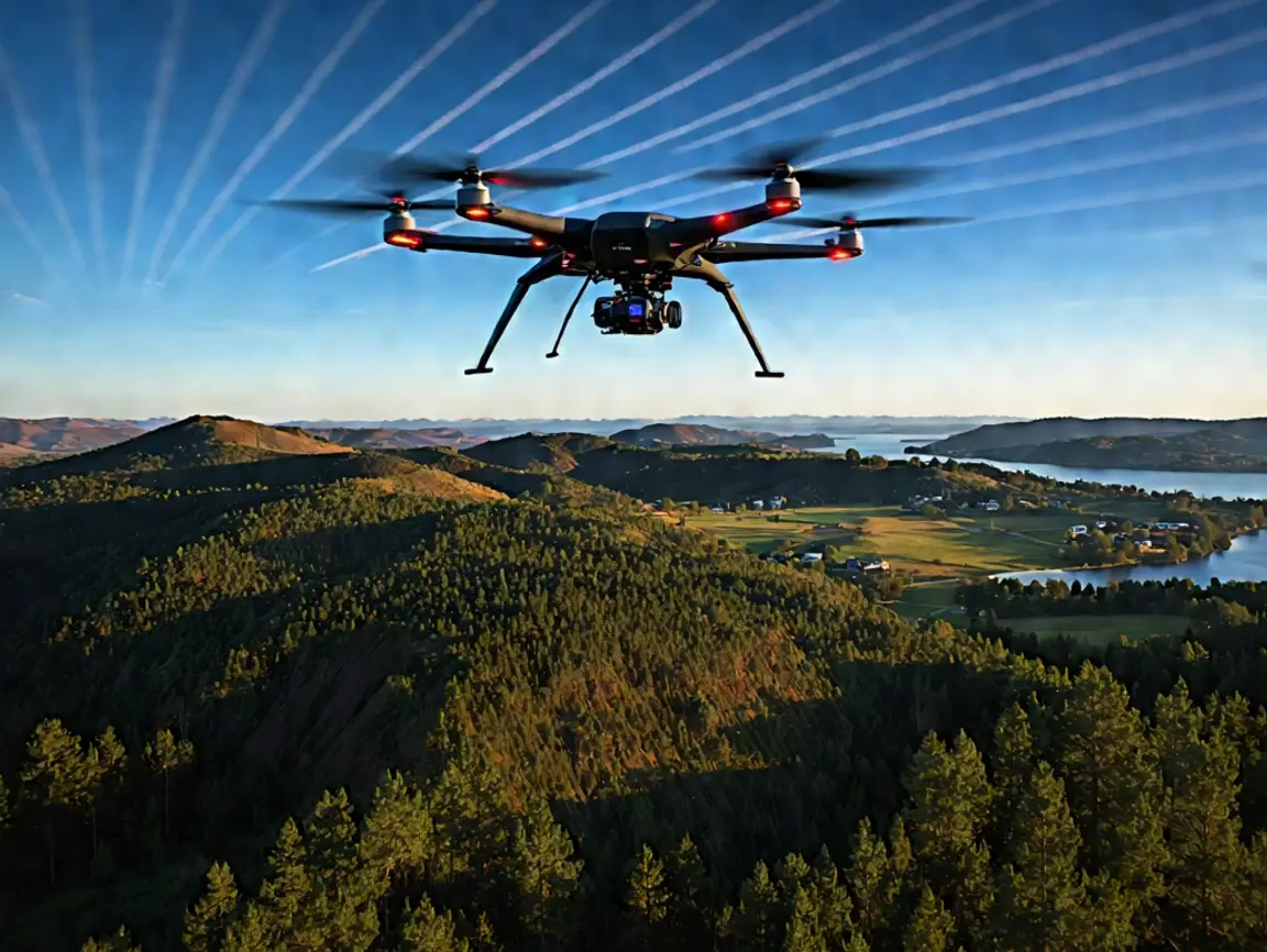
Time is money — and even more when land development or property transactions are at stake. Problems such as weather, hard-to-reach places, or access restrictions can also cause traditional surveys to take time. On the other hand, drones can quickly and easily survey large areas regardless of the ground conditions.
Owing to its decreased survey time, landowners can make critical decisions like those involving the buying, selling, and or developing of the property much faster, thereby reducing holding costs and accelerating project timelines.
Reduced Risk, Higher Accuracy
Convenient as these innovations may be, one might believe cheaper surveys would sacrifice accuracy; that assumption, however, is proving wrong with the application of drone technology. With high-precision GPS, cameras, and LiDAR sensors, drones provide spatial data that is very detailed and accurate and can determine property boundaries with fantastic accuracy.
Thorough surveys prevent misunderstanding and miscalculation of property lines, which can help landowners avoid expensive boundary disputes, legal fees, or having a construction project done incorrectly. Buying a property boundary survey reduces the exposure that would lead to costly rectification or legal action in the future.
Access to Difficult or Hazardous Terrain
Many parcels contain regions that are challenging or unsafe to walk — this would be steep slopes, dense forests, wetlands, or the land is private, and access is restricted. Conventional surveying takes substantial work, and at times, special permits are needed to get to such sites safely.
Well, the short answer is drones solve all of these problems in an instant, able to fly over difficult terrain and wide enough swaths of land to capture a vast amount of data, all while keeping personnel out of harm’s way. This option decreases the price of surveying while also protecting the safety of the survey team, preventing insurance and liability costs.
Comprehensive Data Collection for Future Use
Drones — unlike traditional land surveys, which are basically boundary surveys — may be used by landowners for a host of functions (aerial imagery, topographical mapping, future land development plans, environmental monitoring, and more).
The benefit of this multi-use data collection doubles the value of the survey while eliminating the need for costly follow-up surveys in the future. A comprehensive digital record of your land streamlines the management and planning process, adding more levels of cost-efficiency.
An Overview Of Drone Boundary Survey Price
While looking at drone boundary survey prices, consider how much value you get for traditional methods. Although prices depend on the size of the properties, complexity of terrain, and survey needed, drone-based surveys are typically less expensive and faster to process.
For large or complicated properties, the savings in labor, equipment rental, and survey time add up for many landowners — making drone boundary surveys a cost-effective option. Second, maximizing accuracy and data saturation lowers long-term boundary-related risks and costs.
Reasons Landowners Should Hire a Drone Survey Provider
Landowners who want to take full advantage of drone boundary surveys must choose professionals who not only know about drone technology but also have knowledge of land surveying principles.
Using a professional service makes sure that any regulations are complied with and that the results of the survey can be used as legally recognized documents with local authorities and land registries.
For instance, top-tier providers utilize state-of-the-art drones with LiDAR sensors and calibration-resistant cameras and then expertly process the information with their best software to offer you property boundary surveys that are 10/10 on accuracy and reliability.
Bottom line
If you are a landowner searching for a modern, cost-effective, and precise alternative to property boundary surveys, the application of drone technology provides distinct benefits. There are several advantages of using land survey drones, including cutting down on labor and time costs and getting extremely precise and detailed data — like almost all types of fields.
Drone LiDAR Mapping offers accurate, affordable drone boundary surveys to suit your land management needs. Using cutting-edge drone technology paired with professional surveying expertise, our experienced team provides you with consistent property boundary surveys at a competitive drone boundary survey price. Connect us to discover the next generation in land surveying, where accuracy meets efficiency meets cost savings.