The world of surveying is ever-changing; the advent of adjustments such as drones and aerial LiDAR has produced a paradigm shift in not only traditional practices but also traditional practices. The convergence of these technologies is also improving survey accuracy and efficiency while making it applicable in more sectors. Drone-based LiDAR mapping is having a significant effect on real estate, land development, construction, environmental assessment, and much more. Let us take a closer look at how these technologies are transforming the future of surveying.
Aerial LiDAR and Why Is it a Game-changer?
LiDAR means Light Detection and Ranging. It is a remote sensing technique that emits laser pulses that measure distance to the surface of the Earth, producing accurate, high-resolution 3D data on the surface of the Earth and objects on it.
As opposed to conventional, image-based photogrammetry that requires a clear line of sight to the ground, aerial LiDAR is able to penetrate vegetation, tree canopies, and even shallow water surfaces to fill in gaps left by the camera. Such a capability makes aerial lidar survey services indispensable for every aerial lidar survey service across the field for projects in forestry, agriculture, mining, and environmental study.
Benefits of Drone Survey Services
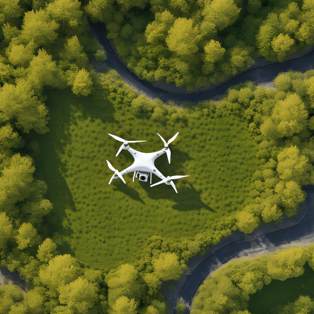
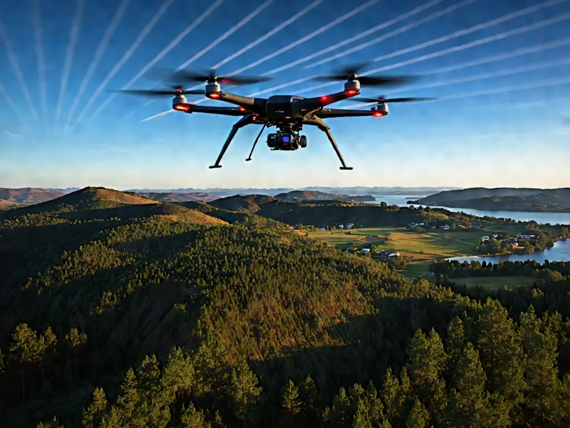
Developments in drone technology have also improved to where they can carry highly advanced sensors like LiDAR. Drone survey solutions are a fast, affordable, and safe option compared to human-crewed aircraft or ground-based surveys.
Some of the most significant advantages of employing drone survey services are as follows:
Reduced Time Required on the Field: Drones can travel over large areas in a fraction of the time it would normally take a team on foot using traditional surveying methods.
Reduced Error: Drones use GPS and IMUs and have an accuracy of within centimeters.
Affordability: Decreases the expense of human-crewed flights and ground surveys, which are labor-intensive.
Flexibility: Can be used in urban, rural, mountainous, and forest landscapes.
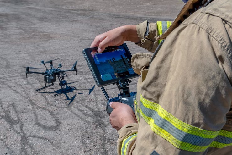
Safety: Prevents workers from entering dangerous areas like slopes, construction sites, or sensitive ecological zones.
Drone survey services are even more powerful when it is combined with aerial LiDAR technology by providing detailed topographic maps and 3D models that are essential for planning, design, and monitoring.
An Overview of Drone Topographic Mapping
Drone topographic mapping represents the features of the Earth’s surface, including its relief, natural formations , and human-made features. Drone topographic mapping involves the use of drones with LiDAR or high-resolution cameras to create accurate topographic data.
Because drones are non-intrusive, drone topographic mapping services can quickly provide you with precision models of the terrain, including contour lines and digital elevation models (DEMS).
This drives particular value in:
Civil Engineering and Construction Projects: Topographic maps are necessary for site grading, excavation, and infrastructure projects.
Environmental management: Mapping of wetlands, forests, and watersheds to track changes over time or plan conservation initiatives.
Mining and quarrying: Volume determination, pit designing, and safety assessment.
Agriculture: For land leveling, irrigation planning, and detecting crop health.
Drones and LiDAR work together to make certain that topographic data is accurate, detailed, and in formats compatible with most any GIS and CAD software systems available.
The Impact Of Aerial LiDAR Mapping Services In Transforming The Industries
New opportunities opened up in multiple sectors through aerial lidar mapping services such as:
Smart Cities and Urban Planning
Accurate, real-time data is essential to city planners for designing infrastructure and judiciously managing urbanization. LiDAR mapping services through aerial surveying create high-definition 3D building, road, and utility models. This data can then support everything from traffic management to disaster preparedness while simultaneously assisting in making urban areas more sustainable and efficient.
Environmental protection from forestry
Aerial lidar survey services help foresters measure canopy heights, biomass, and forest health. LiDAR can show where tree species are diverse and where pests and/or diseases impact areas. From environmental conservation, it helps in mapping habitats, assessing flood risk, and managing natural resources.
Mining and Resource Extraction
One of the use cases mining companies utilize aerial lidar mapping services are volume calc, mine planning, and environmental compliance. Drone LiDAR surveys can provide high levels of accuracy that will lead to more effective operational planning and increased safety as areas of unstable ground or dangerous zones can be identified.
Infrastructure and Utilities
Safe maintenance of infrastructure like power lines, pipelines, and transportation networks depends on accurate monitoring. LiDAR-powered drone survey solutions collect asset condition data for effective predictive maintenance, minimizing downtime.
Disaster Management and Emergency Response
Time is of the essence in natural disasters. Using aerial LiDAR, rapid assessments of the damage and hazard terrain can also be generated to direct emergency response teams and facilitate recovery planning.
What Surveying Future Holds: Integrated AI and Real-Time Data
With the constantly evolving technology, we can expect a lot from the future of surveying. Continued advancements in sensor technology, data processing, and drone capabilities will enable greater precision, efficiency, and versatility in the near future.
Perhaps the most exciting development, however, is the potential to process and analyze data in real-time. Drones collect data, but advanced software can process data within seconds to provide instant insights — leading to faster decision-making.
The integration of artificial intelligence (AI) and machine learning is another growth area. Such technologies would make your drone survey service even more effective when it comes to automating the task of analyzing data, finding patterns, and detecting anomalies.
Bottom Line
Drones and aerial LiDAR are not only pushing the future of surveying but are already remapping the industry in great ways. The advantages are obvious, ranging from improved efficiency and accuracy to improved safety and sustainability.
If you are looking for state-of-the-art drone survey services, then our company, Drone LiDAR Mapping, is amongst the best in the field. Drone LiDAR Mapping is a nationwide provider of drone-based LiDAR mapping services with a network of FAA-certified pilots and licensed surveyors that ensure high-accuracy results, timely communications, and personalized support.