
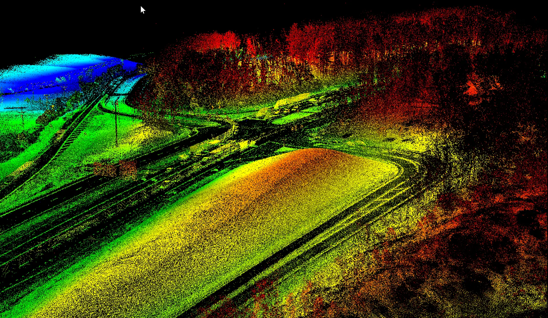
Aerial data for every phase of construction
Pre-construction. An existing-conditions topographic survey establishes the baseline: terrain, drainage, vegetation and structures, tied to your control. Design teams use it for grading, earthwork estimates and permitting.
Earthwork and grading. Recurring flights compare the current surface to the design surface. You get cut-and-fill quantities, stockpile volumes and progress against plan without a crew walking the site.
Vertical construction. Orthomosaics and oblique imagery document progress, laydown areas and logistics for owners, lenders and stakeholders. Point clouds check placement of foundations, pads and utilities against drawings.
Closeout. As-built mapping verifies that completed work matches approved plans and produces the record set for the owner.
What you receive
- Georeferenced orthomosaic of the site for each flight
- Point cloud and surface model (LAS/LAZ, DTM/DSM)
- Volumetric reports: stockpiles, cut-and-fill against design, progress quantities
- Contours and planimetrics in DWG or DXF, surfaces for Civil 3D
- Progress photo sets and comparison views between flights
- Data delivered to the same control every visit, so every flight is comparable
Why contractors and developers use drone monitoring
- Speed. A full-site capture takes an hour or two and delivers within days.
- Safety. No one on unstable ground, at height or in traffic.
- Accuracy. Survey-grade positioning with ground control, reported against checkpoints.
- Accountability. A dated, measurable record of site conditions for pay applications, disputes and owner reporting.
- Coverage. Multi-site portfolios flown on a consistent cadence through our nationwide pilot network.
Related services
Construction projects often begin with a drone topographic survey and, on wooded or complex sites, a drone LiDAR mapping flight for bare-earth terrain. Commercial transactions may also require an ALTA/NSPS survey.