What drone LiDAR mapping delivers
LiDAR (Light Detection and Ranging) measures distance with laser pulses. Mounted on a drone, a LiDAR sensor fires hundreds of thousands of pulses per second and records the returns, building a dense 3D point cloud of everything below: ground, vegetation, structures, power lines and water edges.
Because LiDAR pulses pass through small gaps in tree canopy, drone LiDAR captures the true ground surface where photogrammetry cannot. That is why engineers, solar developers, mining operators and land planners specify LiDAR for wooded parcels, corridors and any project where bare-earth elevation matters.
Where drone LiDAR fits
- Land development and civil engineering. Existing-conditions surveys, grading design, drainage analysis and earthwork volumes.
- Solar and utility development. Site selection, layout optimization, corridor mapping and as-built verification for solar farms, transmission lines and pipelines.
- Mining and aggregates. Stockpile volumetrics, pit and claim-block terrain models, haul road design.
- Forestry and environmental. Canopy height models, floodplain and wetland mapping, erosion monitoring.
- Infrastructure and transportation. Roadway corridors, bridges and rail, captured without lane closures or crews at height.
- Historic and structural documentation. Buildings, sites and features documented in 3D for preservation and design.
How a drone LiDAR survey works
- Scoping. We confirm the area, required accuracy, coordinate system and deliverables, then plan flight lines and control.
- Ground control. Our survey team sets checkpoints and ground control points, or ties into your existing control, so the data is anchored to real-world coordinates.
- Flight. FAA Part 107 certified pilots fly the site with RTK/PPK-positioned LiDAR platforms, capturing overlapping swaths for complete coverage.
- Processing and classification. Returns are georeferenced, filtered and classified (ground, vegetation, buildings, water) to produce a clean bare-earth surface.
- Deliverables. Point clouds, DTM/DSM rasters, contours, planimetrics and reports are QA-checked against control and delivered in your formats.
Deliverables and formats
- Classified point clouds (LAS, LAZ, E57)
- Digital terrain and surface models (GeoTIFF, Civil 3D surfaces)
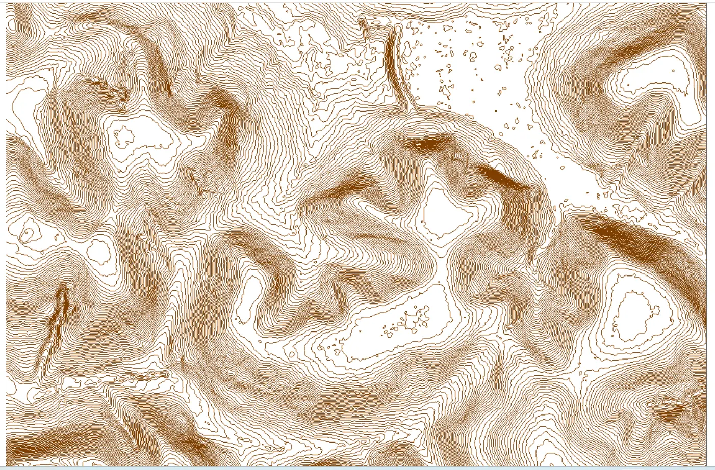
- Contours at your interval (DWG, DXF, shapefile)
- Orthomosaic imagery (GeoTIFF, JPG)
- Planimetric features, cross sections and volumetric reports
- Accuracy report tied to control and checkpoints
LiDAR vs. photogrammetry
Photogrammetry stitches overlapping photos into a 3D surface. It is cost-effective on open, cleared land and produces excellent imagery, but it models the top of whatever it sees: canopy, not ground. LiDAR measures the ground directly through vegetation, delivers tighter vertical accuracy, and works in flat lighting where imagery struggles. On many projects we fly both and deliver a LiDAR terrain model with a photogrammetric orthomosaic on top. We recommend the right sensor for your site, not the one we happen to have.
Why Drone LiDAR Mapping
- Nationwide network of FAA Part 107 certified pilots and state-licensed surveyors
- Survey-grade LiDAR platforms with RTK/PPK positioning
- In-house processing and QA, with accuracy reported against control
- Deliverables matched to your software, from Civil 3D to GIS
- Insured, compliant, and fast: most sites flown within days of approval