The days of surveying with a pencil and paper are long gone. Drones have completely changed the surveying and mapping game and allow for faster, safer, and more accurate output across industries from construction and real estate to agriculture to infrastructure. With the increasing pace and complexity of land development projects, land surveying drones are now a necessity for land surveyors looking to achieve efficiency and accuracy.
If you still need convincing about switching solely from traditional surveying methods, here are the 7 best benefits of using drones for surveying and mapping.
Unrivaled Speed and Efficiency
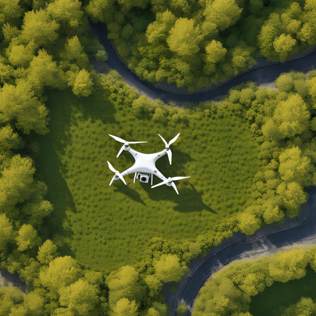
Depending on the size of the area and the complexity of the terrain, traditional land surveying could take days or even weeks. On the other hand, drones for land surveying , if covering large areas, would take them quite a lot less time. Something that previously took a full team and ground-based instruments can now be done by a single operator and a drone.
This allows a drone reapplied with LiDAR or high-resolution cameras to survey an area, generating thousands of data points in a matter of hours. This speed not only shortens project timelines but also saves money on labor and resource use.
Collection of Widely Accurate Data
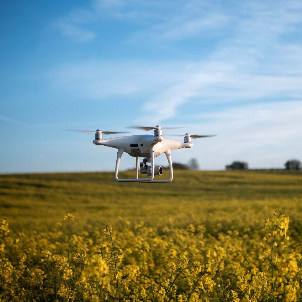
Drone technology achieves centimeter-quality accuracy by using GPS, LiDAR, and photogrammetry. It is critical for construction, mining, agriculture, and any project that relies on accurate data for decision-making.
Using drone surveying and mapping technology, professionals can produce high-resolution 2D maps and 3D models that comply with ALTA survey specifications, avoiding expensive errors or rework.
Enhanced Safety for Surveyors
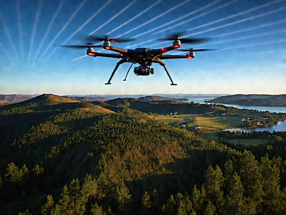
Surveying can be hazardous – particularly in locations that are remote, vegetation thick, slopes steep, or construction sites active. Surveyors do not physically have to enter these zones with drones, and this greatly reduces the injury risk.
Drones for Land Surveying allow professionals to obtain data from a safe distance without sacrificing precision. Drones are a fantastic alternative when projects are either highly remote or far too dangerous to maintain safety, such as cliff sides, highways, or even mines.
Surveying Solution Which Comes At Low Cost
Drone hardware and software can be a high up-front cost, though ROI is realized quickly with cheaper labor, fewer site visits, and faster data processing times.
Land surveying drones can decrease the overall cost of projects by a large margin compared to hiring a full ground survey crew and renting other equipment, especially for large developments or if there is a need for frequent surveys. In addition, drones enable teams to cover a number of sites in a day, which is impossible with conventional tools.
Due to the high altitude or remote nature of the map, providing access to areas that aren’t easily accessible or open to the public. Traditional surveying methods have challenges when it comes to gaining access to rooftops, wetlands, dense forests, or job sites that are in active use.
Instantaneous Information and Fast Decision Making
Drones are available in many sizes and can relay real-time information back to the project team as data are collected. Having such access to data enables faster planning, execution, and decision making.
If something is noticed during a site assessment, project managers get the live feed from the drone, check the issue in real-time, and dispatch a fix, all in the space of a few hours instead of days, for example. Such responsiveness enhances operational agility and keeps projects on course.
Works with GIS, CAD & BIM systems seamlessly
Exporting data directly into GIS, CAD, and BIM is one of the most powerful capabilities of land surveying drones.
Drones for surveying and mapping create high-resolution orthomosaics, contour maps, point clouds, and 3D models that blend seamlessly with planning and design software. By effortlessly transforming raw data into actionable insights, this continues to streamline the workflow process.
ALTA (American Land Title Association) surveys are becoming increasingly common in projects, and having drone-generated data that conforms to ALTA standards saves time and ensures legal and regulatory compliance at the beginning of the project.
Environment Sustainability
Environmental impact, long avoided as a functioning surveying metric, is finally becoming relevant. Where traditional surveying methods require significant fuel, numerous vehicle trips, and extensive site disturbance, drones require less fuel, fewer vehicle trips, and virtually no site disturbance. Consequently, drone surveying has a relatively lower carbon footprint compared to traditional land-based surveying. It is, therefore, a more sustainable option that is compatible with recent developments in ESG (Environmental, Social, and Governance) goals in development projects.
Bottom Line
With industries changing and the demand for smarter, quicker, and safer solutions, drone for surveying and mapping lies in the front row to meet those needs. Offering fast, reliable, and whole dynamic real-time high-precision data with cost-effective and safe approaches gives surveyors and developers no other choice but to use this tool at all seasons.
Drones provide scalable drone surveying solutions to suit even the most complex alta survey requirements on any size architectural site plate, from small residential plots to large commercial developments. When you are ready to make a complete change in how you survey land, turn to the experts at Drone LiDAR Mapping. Contact us to take your next project to another level.