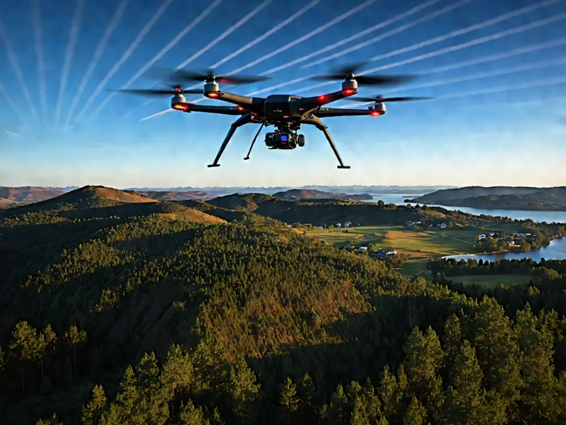
Top Benefits of Using Drones for Land Surveying in 2025 ?
Land surveying has undergone significant transformations within just a few years, and 2025 is turning out to be the most technologically advanced year. Drone technology

Land surveying has undergone significant transformations within just a few years, and 2025 is turning out to be the most technologically advanced year. Drone technology

Properly determining the lines of a property has never been more critical in real estate transactions, land development, and legal land disputes than it is

Imagine surveying a dense forest, a sprawling construction site, or a complex urban terrain, and getting centimetre-level accuracy in hours instead of days. Did you

When you look at a piece of land, every slope, drain, and clump of trees matters. How it all connects can make or break a

The days of surveying with a pencil and paper are long gone. Drones have completely changed the surveying and mapping game and allow for faster, safer, and
Drone Lidar Mapping company provides nationwide drone lidar mapping. Topographic Surveys, boundry ALTA Land Surveys, drone land surveys and construction aerial mapping & monitoring-delivering high precision aerial data to help you plan, build, and succeed.