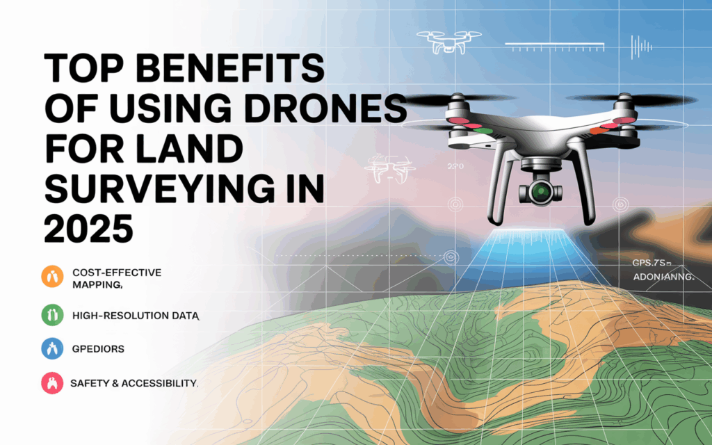
Land surveying has undergone significant transformations within just a few years, and 2025 is turning out to be the most technologically advanced year. Drone technology is already supplanting traditional surveying approaches or providing support to them and thus, making the whole surveying process quicker, more secure, and more precise. At Drone LiDAR Mapping, a company that is backed by Skyelink, we are still observing that drones are becoming indispensable assets for landowners, builders, engineers, and developers.
You may be doing boundary surveys for properties, wanting to know the price of a drone boundary survey, or just in need of a very accurate topographic map, and all the time drone-based surveying comes with a lot of advantages. The following are the foremost benefits of implementing modern land survey drone solutions in the year 2025.
1. Quick and Effective Data Gathering
Drones’ capturing speed is one of their greatest advantages. Depending on the size and complexity of the land, traditional land surveys can take from days to weeks. On the other hand, a drone can perform an entire survey in just a few hours.
A drone for land surveying is able to fly over huge sections of land very fast while taking thousands of high-quality photos and gathering LiDAR points at the same time. This, way less time will be needed on the project and thus the company will be able to plan or even start the construction of the next phase much sooner.
In addition, this rapidity is the advantage of the owners that have to do the property boundary survey very quickly for purposes like legal, real estate, or construction.
2. Greater Precision Using Top-Notch LiDAR and Photogrammetry
2025 has seen drone-based LiDAR sensors getting better and better. The equipment used by our company, Drone LiDAR Mapping, is capable of capturing millions of data points in a second by means of high-precision LiDAR scanners. The outcome is accuracy at centimeter level, no matter if the place is covered by thick vegetation or is bumpy.
The photogrammetry used by drones has also progressed alongside better cameras, advanced GPS modules, and AI-based processing. This has led to the development of drone surveys that are very precise – more than many traditional methods, especially for:
- Boundary mapping
- Topographic surveys
- Construction layouts
- Elevation modeling
Data quality is inversely proportional to disputes, thus if accurate data is provided, planning will be done perfectly, and price estimates for drone boundary surveys will be extremely reliable.
3. Significant Cost Savings
Drone boundary survey is one of the major concerns for clients. However, they are usually more cost-effective than traditional land surveying. Here are the reasons:
- The number of personnel is lower
- The period spent on location is shorter
- Only a basic setup is needed
- Travel and labor costs are reduced
Even big-acreage surveys become cost-effective when drones are deployed. Property owners can thus carry out a property boundary survey at a low price without sacrificing quality.
The same applies to the businesses which, by eliminating needless costs, completing the projects faster, and thus making their operations more profitable, are the ones that get the most out of these developments.
4. Improved Safety and Accessibility
In some cases, traditional surveying requires surveyors to get access to the land that is rough, uneven, or hazardous. Such land can be anything from steep hills, dense forests, construction zones, wetlands, or areas inhabited by wildlife.
A drone for land surveying eliminates any such risks because it takes data from up high. Drones can fly over and monitor areas that are too dangerous or impossible for humans to get to.
This not only enhances safety but also reduces workplace accidents and smoothens the conduct of surveys.
5. Real Time Insights and Decision-Making at Lightning Speed
In the year 2025, the role of drones has shifted from being merely flying cameras to sophisticated systems for the collection of data. The latest drones used by Drone LiDAR Mapping can process the data at a very fast rate and provide the output in a few hours.
As a result, the project managers, engineers, and property owners are able to make quick decisions by using the insights that are constantly updated. The activities that may be marking boundaries, planning a construction site, or studying the elevation of the terrain, the data delivery speed has a significant impact.
Quick decision-making not only helps in avoiding delays but also in keeping the workflow of projects uninterrupted.
6. Drones’ Usefulness in Multiple Survey Types
The present-day drones can execute several types of surveys with remarkable accuracy. The following are some of the surveying types that can be done with the help of drones:
- Survey of property boundaries
- Survey of the construction site
- Planning of land development
- Mapping mines and quarries
- Studying environmental impact
- Planning of roads and highways
- Mapping of agricultural lands
The capability of drones to work in such diverse fields makes them one of the top surveying tools in 2025. By using different sensors and cameras, drones can nearly meet all project needs.
7. Better Visualization and Reporting
Today’s customers demand maps full of details, 3D models, and reports that can be easily understood. The use of drone data allows these to be done.
- A surveying drone for the land provides the following visuals:
- 3D models of the terrain
- Orthomosaic maps
- Maps showing elevation with the highest precision
- LiDAR point clouds
- Views of the site from all directions
The visuals are useful for the clients to get a clearer picture of their land, to come up with good planning decisions, and to stop misunderstandings in the future. The construction teams and architects also gain from better visualization during the design phase.
8. Reduced Environmental Impact
In the past, the practice of traditional surveying necessarily involved the movement of a large number of vehicles and equipment along with a lot of ground movement. Drones, on the other hand, have very little impact on the environment. They fly over the land causing no disturbance to soil, plants, or animals.
In 2025, the question of sustainability will be very important, but drone surveys will be the best and most responsible way of land assessment.
9. Seamless Integration With AI and Cloud Platforms
AI integration in 2025 has really brought beyond the sky the drone surveying to a totally new level. For instance, the systems like ours at Drone LiDAR Mapping have been applying AI to:
- Detect boundaries
- Highlight elevation changes
- Identify errors in data
- Predict land development challenges
Besides, cloud platforms give the clients an advantage of instant access to their maps, reports, and 3D models from anywhere.
No other technology can match the accuracy and the convenience of this combination of drones, AI, and cloud.
Conclusion
In 2025, the technology of drones used in surveying still has a lot of potential to be explored. If you need a quick property boundary survey, want to compare prices of drone boundary surveys, or require high-precision LiDAR mapping, then drones are the best solution as they provide faster, safer, and more economical solutions.
At Drone LiDAR Mapping, in alliance with Skyelink, we are fervently involved in the provision of high-tech survey services that would make the clients’ work less consuming in terms of time, money, and effort. Drones now, with their exceptional precision, powerful analytics, and advanced LiDAR capabilities, are the best option for land surveying in 2025 and beyond.


