Objective
This guide explains how a Land Survey Drone is changing modern mapping projects by helping surveyors, engineers, developers, and construction teams collect accurate site data faster and more safely. You’ll also learn when drone surveys work best and why combining them with professional Boundary Survey Services can give you the most reliable results for your project.
Key Takeaways
- Land Survey Drone technology speeds up mapping without sacrificing accuracy.
- Drone land surveying reduces time spent in the field and improves worker safety.
- LiDAR drone survey and Photogrammetry mapping produce detailed 2D and 3D site models.
- Drone mapping services help construction, engineering, mining, and land development teams make informed decisions.
- For legal property lines, drone mapping should be paired with professional Boundary Survey Services.
Introduction
A large land development or construction project is a good idea if you have reliable data about the location. The problem is that waiting for days, or even weeks, for traditional surveys could delay everything else. The Land Survey Drone will help to collect precise aerial information in much less time while increasing security and providing your crew with an improved view of the area.
According to the U.S. Geological Survey (USGS), drones can produce high-resolution imagery and terrain models that support mapping, monitoring, and planning across many industries.
Table of Contents
- What Is a Land Survey Drone?
- Drone Surveying vs. Traditional Surveying
- 10 Benefits of Using a Land Survey Drone for Mapping
- Real-World Example: Saving Time on a Commercial Development Project
- Better Mapping Starts with Better Decisions
- Frequently Asked Questions
What Is a Land Survey Drone?
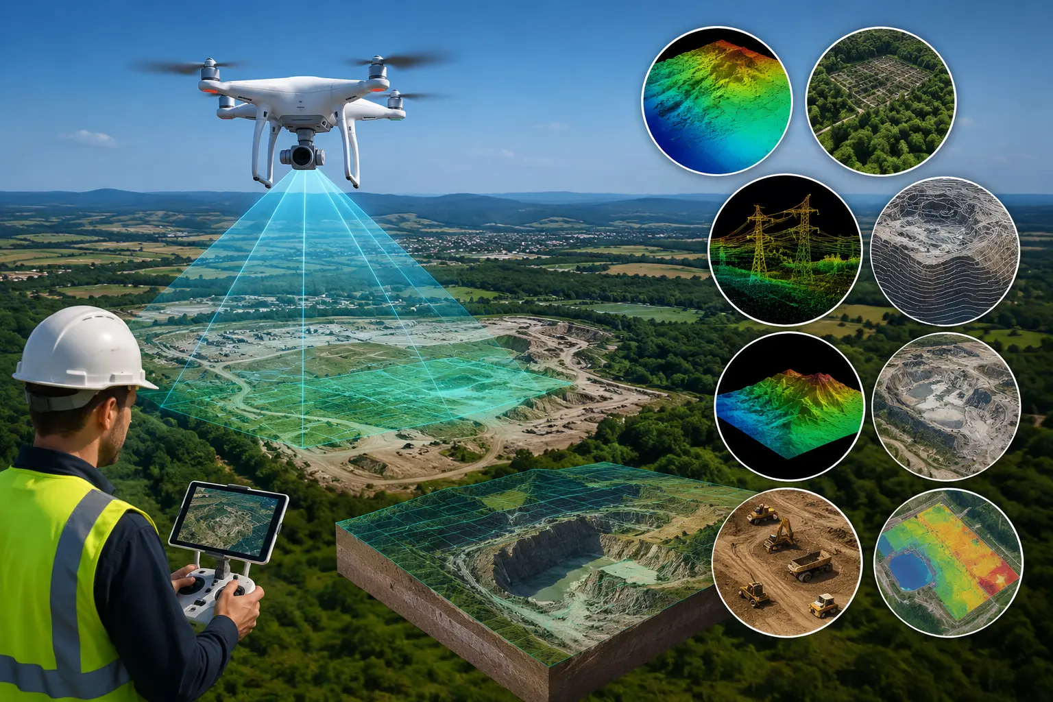
A Land Survey Drone is an unmanned aircraft that is equipped with the latest camera systems, GPS, RTK positioning, or LiDAR sensors. It gathers precise aerial data about the construction site or property. Instead of measuring each point by hand, the drone records thousands of precise measurements within one flight.
The collected information is processed into useful deliverables such as:
- Orthomosaic maps
- 3D models
- Contour maps
- Digital Terrain Models (DTMs)
- Point clouds
- CAD-ready files
Professional providers like Drone LiDAR Mapping combine FAA Part 107-certified pilots with licensed surveyors to produce survey-grade deliverables for engineering, construction, land development, and infrastructure projects across the United States.
Drone Surveying vs. Traditional Surveying
Before looking at the benefits, it helps to compare both methods.
| Feature | Land Survey Drone | Traditional Survey |
| Survey Speed | Large sites mapped within hours | Often takes several days |
| Worker Safety | Less time in hazardous areas | More field exposure |
| Site Coverage | Excellent for large properties | Better suited to smaller areas |
| Data Output | 2D maps, 3D models, point clouds, GIS files | Standard survey drawings |
| Cost Efficiency | Often more economical for large projects | Higher labor costs |
That doesn’t mean traditional surveying is outdated. If you need legal property boundaries or title work, licensed surveyors and Boundary Survey Services remain essential. Many successful projects combine both methods to achieve the best results.
10 Benefits of Using a Land Survey Drone for Mapping Projects
1. Complete Large Mapping Projects Much Faster
Time matters on every construction or land development project.
With Drone land surveying, hundreds of acres can often be mapped in a single day. Traditional field crews may require several days to collect the same level of site information, especially on uneven or difficult terrain.
For example, before a commercial development is even started, engineers require precise topographic data. Drones can take aerial images and elevation data, which allows designers to start making plans earlier.
What this really means is fewer delays and a smoother project schedule.
2. Produce More Accurate Maps
Modern drones use RTK GPS, LiDAR sensors, and high-resolution cameras to create High-Accuracy Mapping products suitable for engineering and construction work.
Depending on project requirements, professionals may use:
- Photogrammetry mapping for detailed aerial imagery
- LiDAR drone survey technology for precise elevation measurements
- GIS mapping for spatial analysis and planning
These outputs allow engineers to measure slopes and drainage, grading, and other site conditions with greater certainty prior to construction beginning.
3. Reduce Overall Survey Costs
Surveying large properties requires labor, equipment, transportation, and multiple site visits.
Because drones collect information more efficiently, companies often reduce field time while still receiving detailed deliverables.
This can be especially valuable for:
- Land developers
- Utility companies
- Mining operations
- Transportation projects
- Large commercial construction sites
Rather than sending multiple survey crews across a property, one carefully planned drone flight can gather much of the required information for planning and design.
4. Improve Safety for Survey Teams
Some project sites include steep slopes, wetlands, busy highways, rocky terrain, or active construction zones.
Instead of asking survey crews to spend long hours walking these areas, drones safely collect aerial data from above.
This reduces unnecessary exposure while still providing the detailed information project teams need.
Safety is one reason many engineering firms continue adding Drone mapping services to their workflow.
5. Collect More Useful Data in One Flight
A traditional survey records individual points across a site.
A Land Survey Drone captures much more.
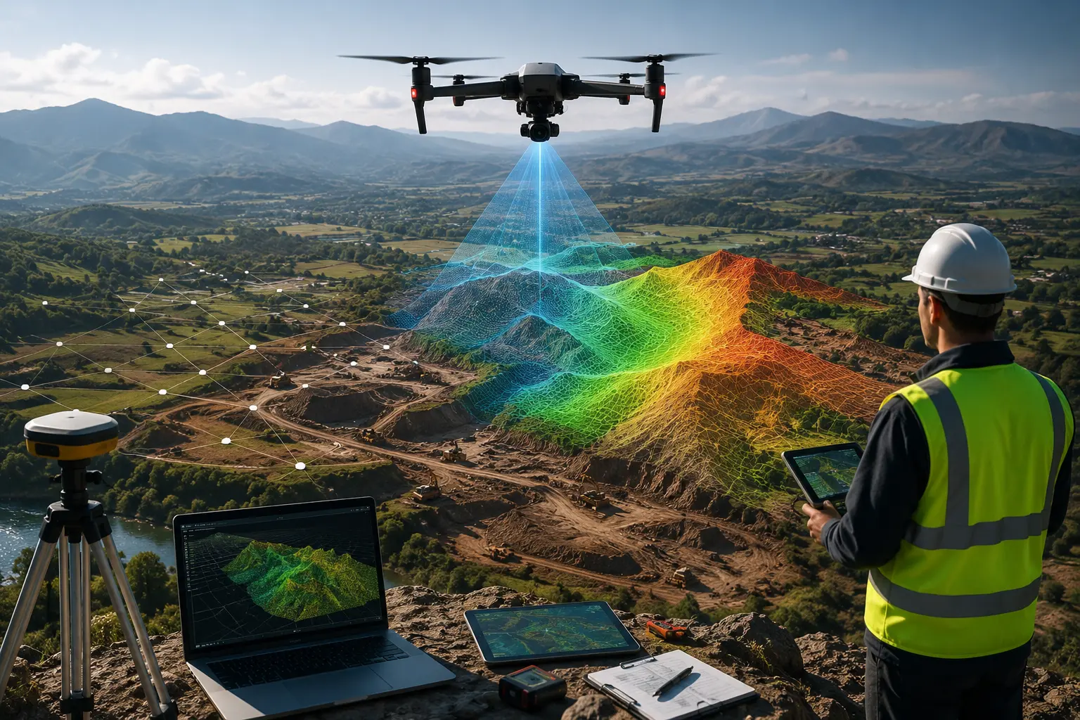
In a single flight, you can receive:
- High-resolution aerial photographs
- 3D terrain models
- Contour maps
- Point clouds
- Digital elevation models
- Survey-grade data collection outputs ready for engineering software
For example, the civil engineering team designing a new road can examine drainage patterns, elevation changes and other existing features of the site prior to the arrival of heavy equipment. This can help reduce the need for modifications to the design later on in the process and enhance the accuracy of planning.
6. Reach Difficult or Unsafe Areas with Ease
It is not always accessible. Survey teams typically work on high hillsides, wetlands, dense vegetation, and construction zones that are active highways and utility corridors. The process of walking around these areas may take a long time and can create safety hazards.
A Land Survey Drone allows you to collect accurate aerial data without placing crews in hazardous areas for long periods. Instead of spending hours crossing rough terrain, the drone captures the information from above while your team reviews the results safely.
For example, the utility company that inspects the transmission line can swiftly detect changes in terrain and adjacent vegetation prior to planning maintenance work. This improves efficiency by decreasing unnecessary exposure to the field. Drone LiDAR Mapping uses FAA-certified surveyors and pilots licensed by the FAA to provide secure, high-quality, survey-grade mapping services across many different conditions.
7. Keep Construction Projects on Schedule
Construction sites change almost every day. Having current site information helps contractors, engineers, and project managers make better decisions.
With Drone mapping services, teams can perform regular aerial surveys to compare completed work with project plans. This makes it easier to:
- Measure earthwork progress
- Monitor grading activities
- Track stockpile volumes
- Verify completed work
- Share updated site conditions with stakeholders
Here’s the thing: minor issues are more easily fixed if they’re discovered in the early stages. Regular drone mapping can help reduce unexpected costs later on in the process.
8. Improve Team Collaboration with Better Project Data
A survey is only useful if everyone involved can understand it.
Modern Drone mapping for land surveys produces digital files that architects, engineers, GIS professionals, and contractors can easily review using common design software.
Typical deliverables include:
- Orthomosaic maps
- CAD files
- Digital Terrain Models (DTMs)
- Point clouds
- Contour maps
- GIS mapping datasets
Instead of relying on paper drawings alone, every member of your team works from the same up-to-date site information. This helps reduce misunderstandings during planning and construction.
9. Support Better Planning with Survey-Grade Data Collection
Good planning starts with reliable information.
A Land surveying drone captures detailed elevation and terrain data that supports:
- Site planning
- Road design
- Utility routing
- Drainage analysis
- Land development
- Environmental assessments
For example, a builder working on a commercial property with a size of 150 acres can examine accurate terrain models prior to finalizing the grading plans. Recognizing drainage routes, slopes, and existing features in the early stages can help reduce design changes later.
According to the U.S. Geological Survey, drone-generated orthomosaics as well as terrain models are capable of achieving high-resolution maps that are that is suitable for a variety of scientific and engineering applications if used in conjunction with appropriate control points.
10. Combine Drone Mapping with Boundary Survey Services for Complete Results
One common misconception is that drones replace every type of land survey.
They don’t.
While a Land Survey Drone provides outstanding mapping, topographic information, and aerial imagery, legal property boundaries still require licensed surveyors and professional Boundary Survey Services.
The strongest approach is often combining both methods.
| Project Need | Best Solution |
| Site planning | Drone land surveying |
| Earthwork calculations | LiDAR drone survey |
| Topographic mapping | Photogrammetry mapping |
| Property boundary verification | Boundary Survey Services |
| Commercial development | Combination of drone mapping and licensed surveying |
This combined workflow delivers detailed mapping while ensuring legal property lines are accurately established. That is exactly why Drone LiDAR Mapping, powered by Skyelink, offers both advanced aerial surveying and professional land surveying solutions to support projects from planning through construction.
Real-World Example: Saving Time on a Commercial Development Project
Imagine you’re preparing a 120-acre commercial development.
Using only traditional field methods, the survey could require multiple site visits before engineers receive the information they need.
Instead, the project team begins with a Land Survey Drone to collect aerial imagery, create contour maps, generate a digital terrain model, and identify grading requirements. Licensed surveyors then complete Boundary Survey Services to establish the legal property lines.
The result?
- Faster design work
- Better communication between project teams
- More accurate planning
- Reduced field time
- Greater confidence before construction begins
This practical combination reflects how many successful engineering and land development projects are completed today.
Better Mapping Starts with Better Decisions
Choosing the right surveying method can influence every stage of your project.
A Land Survey Drone gives you faster data collection, excellent mapping accuracy, improved safety, and detailed digital deliverables that support better planning. When legal property boundaries are involved, pairing drone mapping with professional Boundary Survey Services provides a complete surveying solution.
Whether you’re managing a construction project, planning infrastructure, or developing land, accurate information helps your team work with greater confidence from the very beginning.
[call-to-action] Ready to make your next mapping project faster, safer, and more accurate? Drone LiDAR Mapping combines FAA-certified drones and accredited surveying skills to provide high-quality aerial topographic surveys, mapping, LiDAR-based services, and Boundary Survey Services across the United States. Contact us today to discuss your project and receive survey-grade results that help you plan with confidence.
Frequently Asked Questions
What is a Land Survey Drone used for?
Is drone land surveying accurate enough for engineering projects?
What industries benefit from Drone mapping services?
Can a LiDAR drone survey work in wooded areas?
A Land Survey Drone collects aerial photographs as well as spatial data in order to produce topographic maps, contour maps, 3D models, and other deliverables from surveys that are used in construction, engineering, and land development.
Yes. If operated by professionals who are qualified employing RTK ground control points or LiDAR, drones can create highly precise mapping that is suitable for a variety of engineering tasks.
Construction, civil engineering, mining, utilities, transportation, environmental consulting, agriculture, and real estate development all benefit from faster and more detailed aerial mapping.
Yes. LiDAR drone survey technology can collect ground elevation data through gaps in vegetation, making it useful for many heavily vegetated sites.