Objective
Property inspection used to mean scaffolding, rope-access crews, and days of waiting before anyone had usable data. That model is changing fast. At Drone Lidar Mapping, part of the Skyelink family of aerial data services, we’re seeing property owners, facilities managers, and developers across the US switch to drone building surveys as their default inspection method — not as a novelty, but because the data is faster, safer, and more accurate than what traditional methods can deliver.
This article looks at why that shift is happening, what a drone building survey actually involves, and what property owners should know about drone topographic survey cost and drone surveying services before commissioning a project.
Table of Contents
- What Is a Drone Building Survey?
- Why Property Inspection Is Moving to Drones
- Where Drone Building Surveys Fit in Property Inspection
- Drone Topographic Survey Cost: What Affects the Price
- Drone Land Surveying vs. Traditional Inspection Methods
- Accuracy and Deliverables
- Choosing a Drone Surveying Services Provider
- Final Thoughts
- FAQs
What Is a Drone Building Survey?
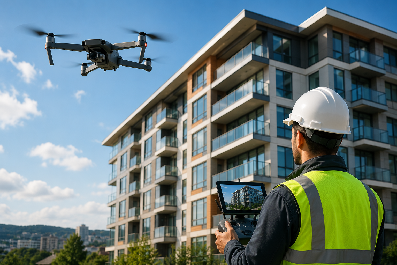
A drone building survey uses a UAV equipped with LiDAR sensors, high-resolution cameras, or both, flown on a programmed route around a structure’s roof, facade, and surrounding grounds. Instead of a crew climbing scaffolding or rigging rope access over several days, a drone can capture the entire exterior of a building in a matter of hours.
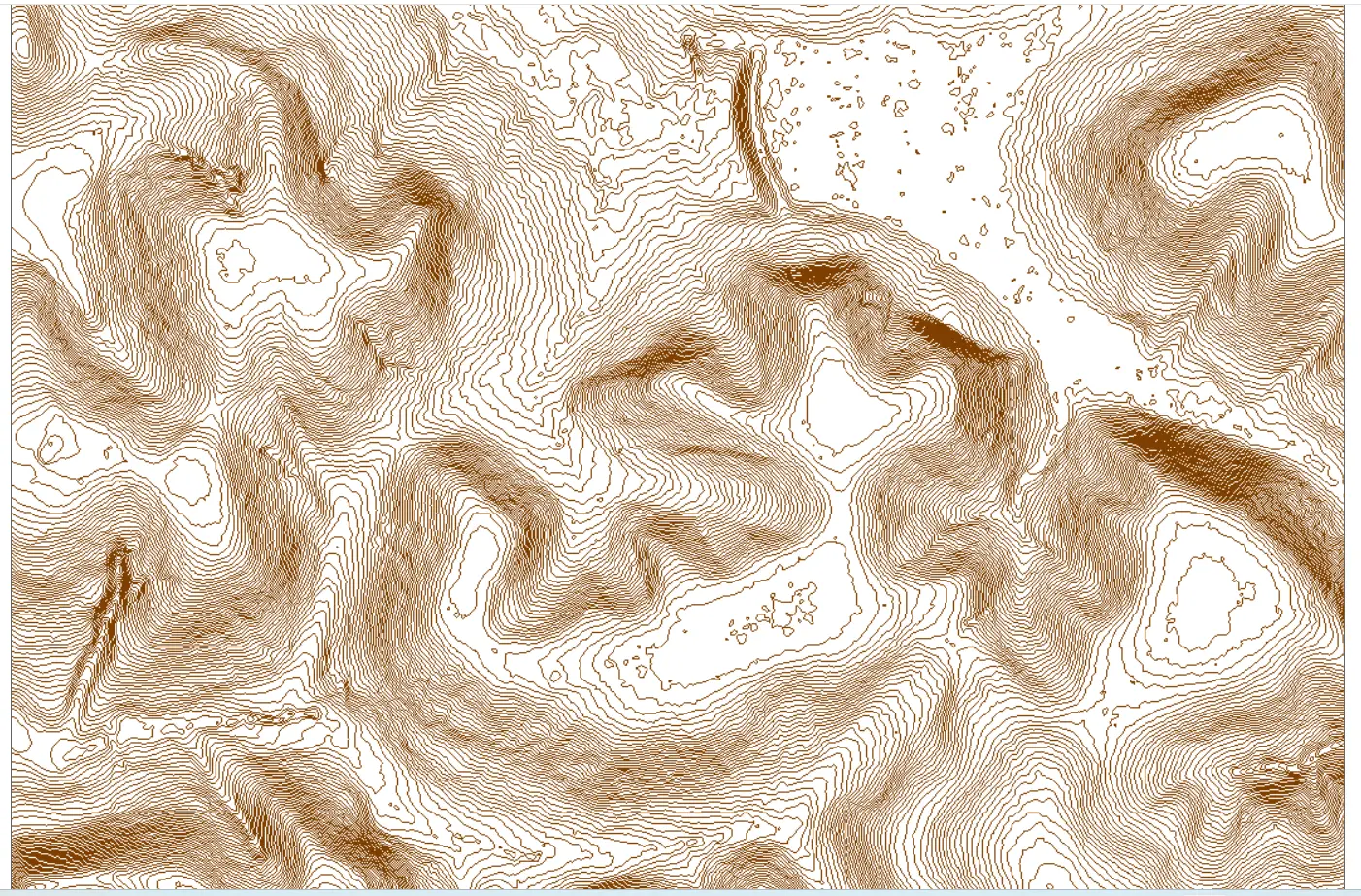
The output is a georeferenced 3D point cloud, orthomosaic imagery, and elevation data that drops directly into CAD, BIM, and GIS software. It isn’t just documentation — it’s measurable, coordinate-tied data that engineers, architects, insurers, and property managers can all work from using the same source file.
Why Is Property Inspection Moving to Drones ?
Traditional building inspection depends on physical access — scaffolding, harnesses, working-at-height permits, and site coordination before a single measurement is even logged. That process is slow, expensive, and puts inspection crews in genuinely risky positions on roof edges, parapets, and unstable facades.
Drone land surveying removes most of that friction. A single operator can cover a full building exterior, capture roof condition, facade defects, and site topography in one flight, and hand off data that’s ready for analysis the same day or the next. For property owners managing sale timelines, insurance renewals, or maintenance planning, that speed translates directly into faster decisions and lower holding costs.
Where Drone Building Surveys Fit in Property Inspection ?
Drone building surveys are now used across nearly every stage of the property lifecycle:
- Pre-purchase due diligence — giving buyers an accurate condition baseline before closing
- Insurance and claims documentation — capturing pre- and post-event roof and facade condition
- Routine maintenance monitoring — tracking facade cracking, roof deterioration, or drainage issues over time
- Renovation and permitting — supplying accurate as-built data for architects and planning submissions
- Portfolio and asset management — building a repeatable, dated condition record across multiple properties
Because every flight references the same coordinate system, owners can overlay surveys from different dates and see exactly what’s changed — something that’s difficult to do consistently with manual spot inspections.
Drone Topographic Survey Cost: What Affects the Price
One of the most common questions property owners ask is simple: how does drone topographic survey cost compare to traditional inspection methods? The answer depends on a handful of factors — building size, roof complexity, site access, vegetation around the structure, and the level of certification required for the final deliverable.
Indicative Property Inspection Cost Comparison
| Survey Method | Typical Cost Range | Typical Timeline |
| Scaffolding / Rope-Access Inspection | $5,000 – $25,000+ | 5–15 days |
| Manual Ground Inspection (exterior only) | $2,000 – $8,000 | 2–5 days |
| Drone Building Survey (LiDAR/Photogrammetry) | $1,200 – $6,000 | Same day – 2 days |
For most commercial and residential structures, drone surveying services come in well below traditional methods on both price and turnaround — and for larger or more complex sites, the savings on access equipment and labor alone often justify the switch.
Drone Land Surveying vs. Traditional Inspection Methods
Traditional inspection methods rely on a person physically reaching every part of a structure, which limits how much ground — or roofline — can realistically be covered in a day. Drone land surveying changes that constraint entirely. A drone can cover a large industrial roof, a multi-building commercial site, or a steep and hard-to-access residential property in a single flight, all while collecting data at a consistent level of detail.
This matters most for buildings where physical access is genuinely difficult or hazardous: high-rise facades, heritage structures where contact with the fabric must be minimized, occupied buildings where scaffolding would disrupt tenants, and sites next to busy roads or restricted areas.
Accuracy and Deliverables
With ground control points properly established, LiDAR-equipped drone surveys typically achieve horizontal and vertical accuracy in the 1–5 cm range — sufficient for structural assessments, insurance documentation, and permitting submissions. Standard deliverables include:
- Georeferenced orthomosaic imagery
- 3D point cloud (LAS/LAZ format)
- Digital elevation and surface models (DEM/DSM)
- CAD-ready structural and site line work (DWG/DXF)
These files integrate directly into the software architects, engineers, and property managers already use, avoiding the manual re-entry and file conversion that slows down traditional survey handoff.
Choosing a Drone Surveying Services Provider
Before hiring a provider for a drone building survey, it’s worth confirming a few basics: FAA Part 107 certification for the pilot, access to LiDAR-equipped aircraft rather than photogrammetry-only drones for structural work, in-house data processing for accountability and faster turnaround, and delivery in standard professional file formats. A drone captures the data — a qualified provider is what turns it into something you can actually use for engineering, insurance, or planning purposes.
Final Thoughts
Drone building surveys have moved from an emerging option to a standard tool for property inspection, and for good reason. They cover more ground, in less time, at a lower cost than most traditional methods, while producing data that plugs directly into modern design, maintenance, and insurance workflows.
At Skyelink’s and Drone Lidar Mapping division, we work with property owners, developers, and facilities managers nationwide to deliver exactly this kind of survey data — accurate, fast, and ready for whatever comes next in your property’s lifecycle.
Frequently Asked Questions
What is a drone building survey used for?
How much does a drone topographic survey cost?
Is drone land surveying accurate enough for legal or insurance use?
How long does a drone building survey take?
A drone building survey captures aerial LiDAR or photogrammetric data to assess roof and facade condition, support insurance documentation, and produce site imagery for planning, maintenance, and legal purposes.
Drone topographic survey cost typically ranges from $1,200 to $6,000 depending on site size, terrain, and the level of accuracy required — generally lower than scaffolding or manual inspection methods.
Yes. With properly established ground control points, drone land surveying typically achieves 1–5 cm accuracy, which meets requirements for engineering, insurance documentation, and most permitting submissions.
Most flights take a few hours depending on building size and complexity, with processed deliverables typically available within 24 to 48 hours.