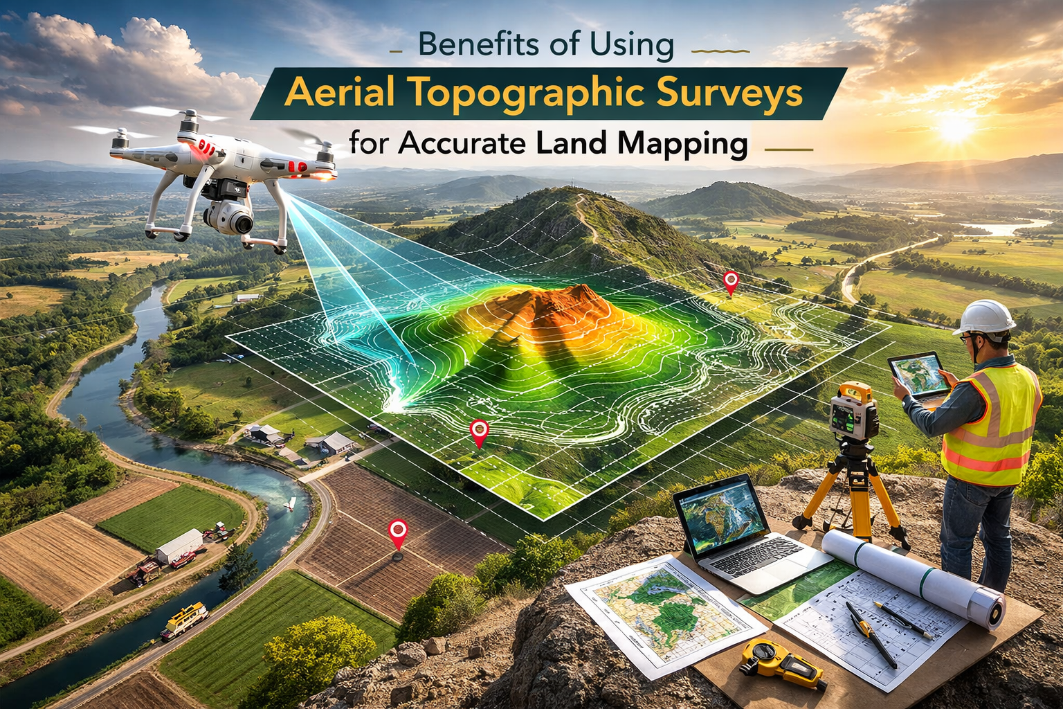
Modern property boundary surveys achieve accuracy through precision, and drone-based surveying is compared to traditional surveys in this blog, so property owners and professionals know exactly what to expect.
Key Takeaways
- What boundary survey accuracy means in real-world terms
- How drone surveys compare with traditional ground surveys
- When drone-based surveys are legally reliable
- What affects accuracy, cost, and turnaround time
- How to choose the right survey method for your property
Introduction
One wrong boundary assumption can cost you time, money, and peace of mind. Many property owners only realize this when a project stalls or a dispute begins, whether you’re building, buying, or resolving a line issue, knowing where your property starts and ends is essential.
Here’s the thing. Property lines don’t change, but the way we measure them has.
Did you know? In the U.S., licensed surveyors must meet strict accuracy standards set by state boards, and modern drone and LiDAR tools now achieve precision levels that were hard to reach with ground-only methods.
Understanding boundary survey accuracy helps reduce risk and supports confident decisions before work begins.
Table of Contents
- Understanding Precision in Modern Boundary Surveys
- How Surveyors Establish Property Boundaries Today
- Technology Driving Survey Accuracy Forward
- Drone Surveys vs Traditional Boundary Surveys
- Factors That Influence Survey Accuracy
- Accuracy Standards and Legal Reliability
- Real-World Applications and Case Insights
- What to Expect During a Drone-Based Boundary Survey
- Cost, Accuracy, and ROI Considerations
- Accuracy Isn’t Guesswork – It’s a Strategic Advantage
- FAQs
Understanding Precision in Modern Boundary Surveys
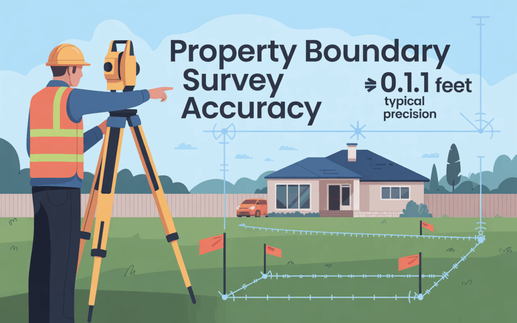
Before comparing tools or prices, it’s important to understand what accuracy actually means in land surveying. Many people assume accuracy is a single number. In reality, it’s a range that reflects how close measurements are to the true boundary location.
High-accuracy drone property line mapping and measurement tolerance
Accuracy and precision are not the same thing.
- Accuracy refers to how close a measurement is to the true boundary.
- Precision refers to how consistent repeated measurements are.
Surveyors measure both horizontal accuracy (side-to-side position) and vertical accuracy (elevation). Even small errors can cause major legal issues, especially during construction or land transfers.
Aerial boundary survey for legal documentation explained.
Drone data can meet legal standards when a licensed surveyor controls and validates the process. Aerial data alone does not replace professional judgment. It supports it. When properly verified, drone-based surveys are suitable for mapping, planning, and legal documentation.
How Surveyors Establish Property Boundaries Today
Survey accuracy depends on more than technology. It starts with research, records, and experience.
Affordable drone boundary surveying near me and field verification
Surveyors begin by reviewing deeds, plats, and public records. These documents define legal boundaries on paper. Next comes field verification. Physical markers like iron pins, monuments, and fences are located and checked against records.
Field checks help resolve inconsistencies between documents and real conditions. This step is critical for reliable results.
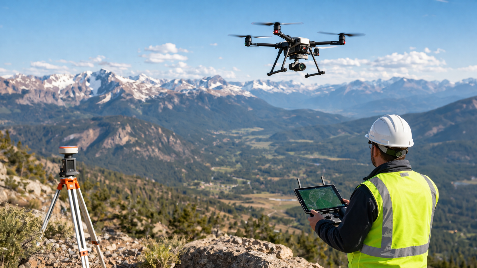
Technology Driving Survey Accuracy Forward
Modern surveys depend on a mixture of ground and aerial data control.
Land survey drone technology and data capture
Drone surveys typically employ LiDAR or high-resolution images.
- LiDAR records the highest elevations through the vegetation.
- The process of photogrammetry generates precise models of overlapping images.
Surveyors employ GNSS as well as RTK corrections to increase precision. Density and resolution of data are key to the final accuracy.
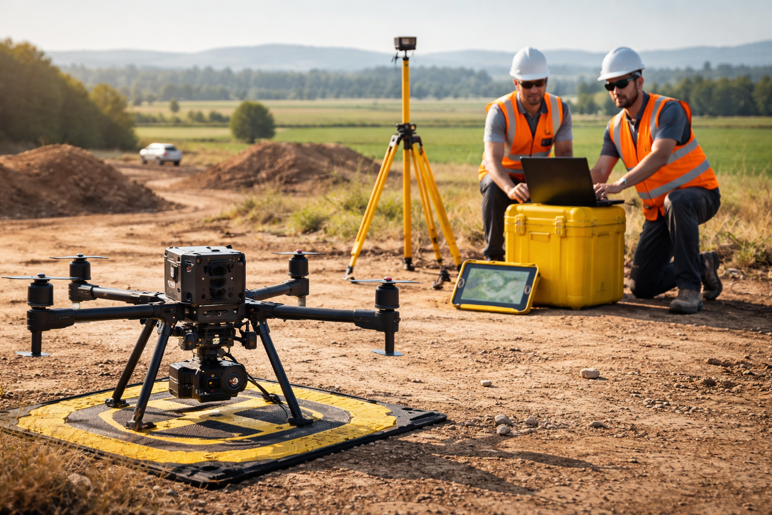
Property line survey by drone in professional workflows
The property line inspection carried out by a drone makes use of aerial data as well as Ground control points. This method increases efficiency and maintains high levels of accuracy.
Surveyors still have the ability to determine boundaries in the ground. In the end, the standards of professional practice are adhered to.
Comparing Drone Surveys and Traditional Boundary Surveys
Each approach has its strengths. The best choice is based on the land type, size, and legal requirements.
Boundary survey accuracy across different methods
Ground surveys that are traditional in their design and method of surveying can be reliable, but they are time-consuming. Drone surveys cover vast regions quickly and offer detailed visual information. Hybrid methods blend both.
Best use cases for drone surveys
- Large or hard-to-access properties
- Preliminary planning and design
- Development feasibility studies
Situations requiring traditional methods
- Small residential lots with tight tolerances
- Court-related boundary disputes
- Areas with a poor satellite signal
Factors That Influence Survey Accuracy
No survey exists in isolation. Several conditions affect results.
Property boundary survey accuracy and influencing conditions
Uneven terrain, dense vegetation, and weather can cause interference with the capture of data. Signal interference can affect satellite accuracy. The quality and location of control points are also important. Surveyors with experience are aware of these aspects to ensure the accuracy of their results.
Accuracy Standards and Legal Reliability
Survey accuracy must align with legal expectations.
Boundary survey accuracy for compliance and disputes
The industry standards define acceptable error limits based on the kind of project. Surveyors who have been licensed can assure that surveys are in compliance with the requirements. Courts are reliant on surveys completed by an expert; that’s the reason why validation is so important.
Real-World Applications and Case Insights
Accuracy matters most when real money is involved.
Drone boundary survey price vs value outcomes
In one development project, drone-based mapping helped identify boundary issues early. This helped avoid redesign costs and reduced delays. The cost of drone boundary survey was less expensive than traditional methods, but the accuracy was within the required ranges. Early clarity saved both time and budget.
What to Expect During a Drone-Based Boundary Survey
Knowing the process helps avoid surprises.
Property boundary survey workflow explained.
- Pre-survey research
- On-site data collection
- Data processing and review
- Surveyor validation
- Final deliverables
Clients receive reports, maps, and other data that are aligned with the requirements of the project.
Cost, Accuracy, and ROI Considerations
Price alone doesn’t define value.
Drone boundary survey price and accuracy balance
Pricing is based on the size of the land as well as the terrain and accuracy. A higher level of accuracy lowers risk over the long term. A second property line survey conducted by drones is often economical for large buildings as well as complex sites.
Comparison Table: Survey Methods Overview
| Survey Method | Accuracy Level | Time Required | Best Use |
| Ground Survey | Very High | Longer | Legal disputes |
| Drone Survey | High | Faster | Large properties |
| Hybrid Survey | Very High | Moderate | Development projects |
Accuracy Isn’t Guesswork-It’s a Strategic Advantage
Clear boundaries protect your investment. Modern technology, professional supervision, and the correct approach can make all the difference. Drone LiDAR Mapping focuses on clarity, accuracy, and trust. Our methodology helps clients to move forward without doubting their information.
Explore how Drone LiDAR Mapping can support your project from start to finish.
CTA: Know your boundaries with confidence.
FAQ’s
How accurate is a property boundary survey?
The accuracy is contingent on the methodology employed and the requirements of the project. Professional surveys generally adhere to the strict standards of the state.
Are drone surveys legally accepted for property boundaries?
Yes, when overseen and validated by a licensed surveyor.
Can a boundary survey be wrong?
Errors can occur due to outdated records or missing markers. Professional checks reduce this risk.
How long does a drone boundary survey take?
Most projects take days instead of weeks, depending on size.
Is a drone survey cheaper than traditional surveying?
Often yes, especially for large or remote areas.