Accurate topographic maps are still essential and no other maps can replace them in modern infrastructure, land use, and environmental studies. Ground-based survey methods provide the most reliable results but they are also very slow, very expensive, and not feasible in all places. At the moment, aerial surveys, especially those that incorporate cutting-edge drones and LiDAR systems, are transforming the whole process of topographic data collection and representation.

Drone LiDAR Mapping, with the mounting power of Skyelink, has made aerial surveys a really quick and efficient means of getting high-precision elevation data. This article highlights the function of aerial surveys in topographic mapping and explains why their use is spreading across different sectors.
What Is an Aerial Topographic Survey?
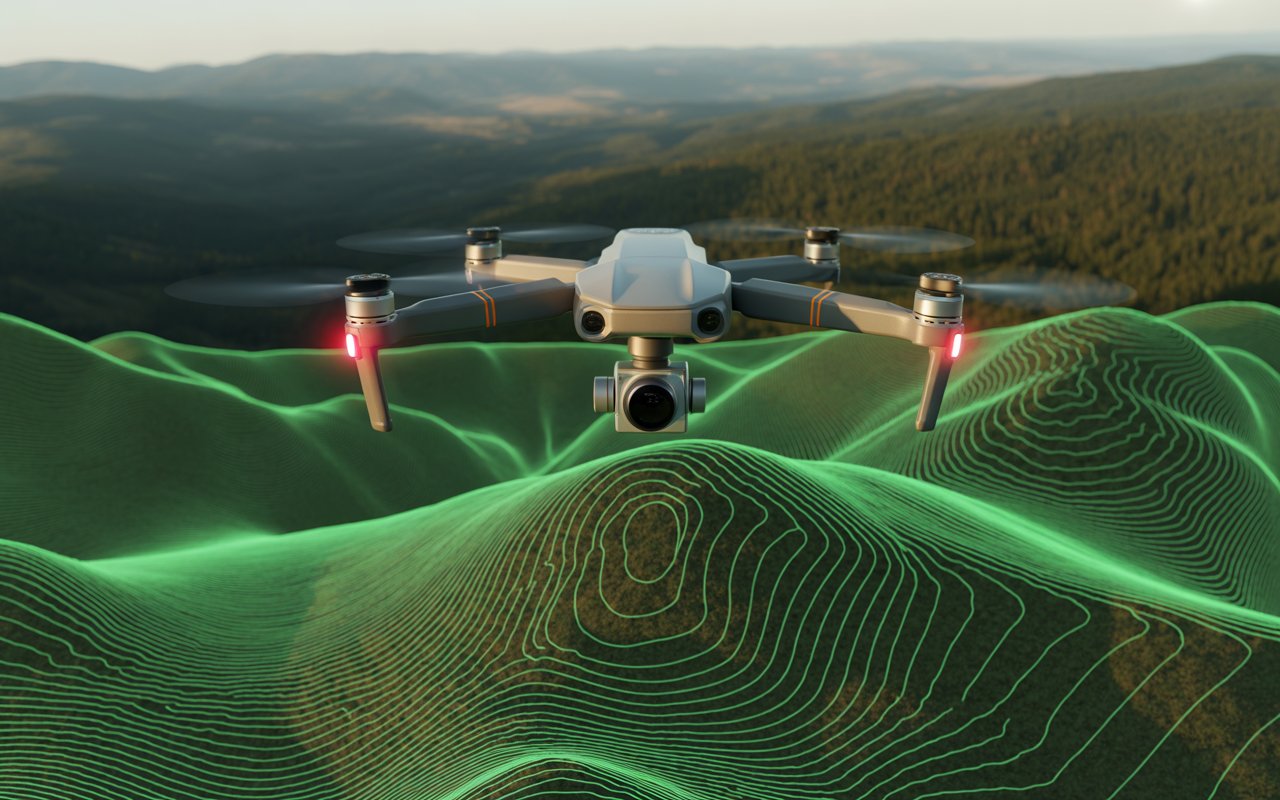
LiDAR technology has emerged as the most reliable method for topographical mapping. Aerial drones equipped with LiDAR systems fire laser pulses downwards and record the time the pulses take to come back. Therefore, surveyors can determine more accurately the distances as well as the heights.
Topographic maps are produced from LiDAR data from drones, which has a number of advantages:
-
Going through the forest and getting the land surface elevations is indeed possible
-
Very high point density for the creation of detailed models of the terrain
-
High degree of accuracy throughout a large or uneven area
-
Data collection is done faster than with ground surveys
All these advantages point to the fact that mapping of drone lidar in projects in the U.S. is very important for the development of infrastructure, mining, flood modeling, and urban planning.
How Aerial Surveys Create Detailed Topographic Maps ?
1. High-Resolution Data Collection
Millions of elevation points are gathered over the surveyed area through aerial surveys. Drones can conduct aerial lidar survey services at a low altitude while adhering to pre-defined flight paths, thus guaranteeing the sameness of coverage and the reliability of the data. This dense dataset reveals even the slightest variations in elevation which would have been unnoticed otherwise.
2. Accurate Digital Elevation Models (DEMs)
Digital Elevation Models (DEMs) and Digital Terrain Models (DTMs) are drawn from the data collected. The DEMs depict the actual ground level and are the most critical sources for engineering design, drainage analysis, and land use planning.
3. Enhanced Terrain Visualization
It is possible to obtain contour lines, slope maps, and 3D terrain visualizations from aerial surveys. Such outputs are instrumental for engineers, architects, and planners, especially in site conditions comprehension and decision making early in the project lifecycle.
4. Improved Accuracy and Consistency
Technology-driven aerial lidar mapping services can deliver accuracy of 1 cm or even better when used with GNSS and RTK/PPK positioning systems. Such precision confines the usability of topographic maps to only the most demanding regulations and standards of engineering.
Benefits of Aerial Surveys for Topographic Mapping
Speed and Efficiency
Aerial imagery Basically, the method benefit gives huge time savings in the tracing of vast areas. And nothing was weeks-long jobs, now all can done in just a few days, it still being precise.
Cost-Effective for Large Projects
Aerial surveys for large or out-of-way areas mean less workforce expenditure and more importation of new labor into the fields every once in a while, thus they are cheaper solutions.
Access to Difficult Terrain
There is no problem with air surveyed areas like steep hills, heavy forest, marshes and even places that are not easily accessible. Thus drone topographic mapping is made for those projects where ground access is restricted.
Safer Data Collection
Aerial surveys cut down on personnel presence tags along with lessening the safety hazards posed by cars, heavy equipment, or unstable ground.
Industries That Rely on Aerial Topographic Maps
Aerial surveys and LiDAR-derived topographical maps are common applications in several sectors which are:
- Civil engineering and infrastructure development
- Construction and site planning
- Mining and quarry operations
- Environmental monitoring and flood risk assessment
- Transportation and utility planning
- Urban development and smart city projects
The demand for drone lidar mapping in the US increases continually due to faster and more accurate geospatial data being sought by industries.
Why Choose Drone LiDAR Mapping by Skyelink?
At Drone LiDAR Mapping, which is powered by Skyelink, we are experts in providing dependable and accurate aerial lidar survey services that are specifically designed for your project requirements. Our cutting-edge drone platforms, certified pilots, and skilled data processing personnel all contribute to the production of high-quality topographic outputs that facilitate confident decision-making.
Our main concern is achieving precision, legal compliance, and effectiveness—ensuring that customers get the benefits of risk mitigation and better project outcomes through the latest aerial survey techniques.
Conclusion
The use of aerial surveys in mapping has changed the way detailed topographic maps are created. The combination of drone technology and LiDAR allows surveyors to get very similar accurate elevation data in a much shorter period of time than traditional methods, and also with a lesser risk and more comfort. Aerial surveys are already making their way to different applications, from infrastructure planning to environmental analysis, thus providing the data-driven decisions of the future.
Drone LiDAR Mapping and Skyelink’s drone topographic mapping and aerial lidar mapping services are among those setting new benchmarks in quality and performance as industries keep on demanding more and more precision mapping.
Frequently Asked Questions
1. What is an aerial topographic survey?
An aerial topographic survey uses drones or aircraft equipped with LiDAR or high-resolution cameras to collect elevation and terrain data from above. These surveys produce accurate topographic maps showing contours, slopes, and land features, making them ideal for large or complex sites.
2. How does drone LiDAR mapping improve topographic accuracy?
Drone LiDAR mapping improves accuracy by capturing millions of precise laser measurements that calculate exact ground elevations. Unlike traditional methods, LiDAR can penetrate vegetation and deliver highly detailed terrain models with consistent accuracy across the entire survey area.
3. What are the benefits of aerial LiDAR survey services over traditional surveying?
Aerial LiDAR survey services are faster, safer, and more cost-effective than ground-based surveys. They reduce field time, access hard-to-reach terrain, minimize safety risks, and provide highly detailed elevation data suitable for engineering and construction projects.
4. Which industries use drone topographic mapping in the US?
Drone topographic mapping in the US is widely used in construction, civil engineering, mining, infrastructure development, environmental monitoring, flood modeling, transportation planning, and urban development projects.