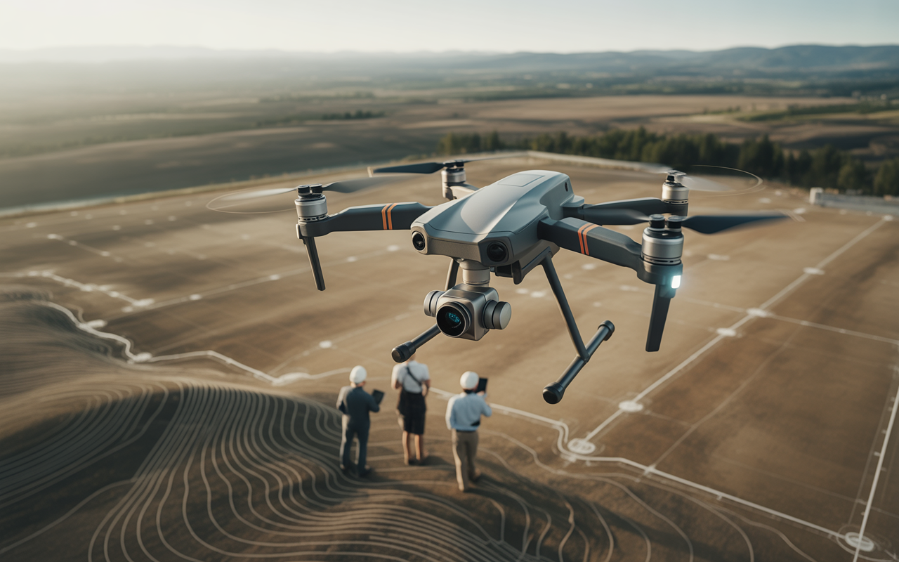
Modern surveying needs terrain data that is fast, safe, and precise. Tight schedules, larger sites, and higher accuracy standards leave little room for delays or repeat work. In this blog, we explain how drone-based topographic mapping answers these demands and solves real surveying problems across construction, development, and infrastructure projects.
Key Takeaways
- Why drones have reshaped topographic surveying for speed and coverage
- How aerial data improves accuracy, safety, and timelines
- Where drone topographic surveys deliver the highest return
- What surveyors and developers should look for before choosing a solution
Introduction
A single elevation error can delay an entire project; modern surveying no longer has room for guesswork.
Surveying today looks very different from what it did even ten years ago. Sites are larger, timelines are shorter, and design teams expect usable data almost immediately. Traditional ground surveys are still important, but they struggle with the size, safety risk, and lengthy turnaround times.
Did you know? Industry studies show that drone mapping can reduce field survey time by up to 70% on large sites while maintaining survey-grade accuracy when done correctly. Many engineering teams today use drone data to make design choices before heavy equipment arrives.
This shift is where aerial topographic mapping comes into play. Instead of relying only on boots on the ground, surveyors now collect dense terrain data from above, turning raw elevation points into clear, usable models.
What this really means is better planning, fewer surprises, and stronger project control. Drones are no longer experimental tools. They are professional, data-driven systems built for modern surveying needs.
Table of Contents
- How Modern Surveying Has Shifted Toward Aerial Intelligence
- Why Drone-Based Topographic Mapping Outperforms Traditional Methods
- Business-Critical Benefits of Drone Topographic Surveys
- Where Drone Topographic Surveys Deliver the Most Value
- Choosing the Right Technology and Approach
- Why Professional Drone Mapping Matters More Than Ever
- Frequently Asked Questions
How Modern Surveying Has Shifted Toward Aerial Intelligence
Surveying teams face growing pressure to deliver accurate data faster than ever. Construction schedules, permit reviews, and design approvals all depend on clean terrain information. Complex sites, dense vegetation, and uneven ground only increase the challenge.
That pressure has pushed the industry toward aerial data collection methods that reduce field time while improving coverage. Surveyors now expect detailed elevation models, contours, and surface data without repeated site visits.
Drone topographic survey with LiDAR and photogrammetry
LiDAR and photogrammetry are best when they are used in conjunction. Each method plays a unique function in modern surveys.
- LiDAR captures best: ground elevation under trees, subtle grade changes, and dense point clouds
- Photogrammetry captures best: surface textures, visual context, and high-detail imagery
- Why hybrid workflows matter: combining both delivers reliable elevation data and clear visuals for design teams
This approach supports LiDAR topographic mapping workflows that meet survey-grade expectations while covering large areas efficiently.
Why Drone-Based Topographic Mapping Outperforms Traditional Methods
Ground surveys are typically difficult, labor-intensive, and hazardous on some sites. Steep slopes, active construction zones, and restricted areas often limit access. Missing data then leads to follow-up visits, which cost time and money.
Drone-based surveys do not replace surveyors. They support them. By collecting broad terrain data quickly, drones reduce gaps and give survey teams a stronger starting point.
Accurate drone topographic mapping for developers
Developers depend on early accuracy. Grading plans, drainage design, and feasibility studies all rely on correct elevations. Drone data helps teams spot issues before design work moves too far.
We’ve seen huge areas of land where drone inspections identified drainage pathways that were not noticed during initial ground surveys. Being able to spot this early helped avoid modifications later in the design process and helped keep the project on track.
This is the reason aerial topographic mapping shows its worth beyond speed alone.
Business-Critical Benefits of Drone Topographic Surveys
Once you move past the technology, the real impact shows up in business outcomes. More accurate data results in more informed decisions, and better choices reduce risk.
Survey-grade drone data helps more confident planning, better coordination, and fewer unexpected events in construction.
Aerial terrain data for grading and design
High-resolution terrain models give engineers clear insight into slope, cut-and-fill volumes, and drainage behavior. This directly supports grading plans and earthwork estimates.
- Faster approvals due to the clear and complete information
- A lower number of field visits results from insufficient measurements
- Improved cooperation with engineers, surveyors, and contractors
The correct topographic survey procedure transforms elevation data into useful ideas for design.
Where Drone Topographic Surveys Deliver the Most Value
Not every project needs drone mapping, but many benefit greatly from it. Sites with size, access limits, or tight timelines see the biggest gains.
Aerial topographic survey applications across industries
Drone-based surveys support a wide range of projects:
- Construction and civil engineering for grading and progress planning
- Land development for feasibility and site layout
- Environmental planning for terrain analysis and impact studies
- Infrastructure and utilities for corridors and access routes
- Renewable energy sites such as solar farms and wind projects
An aerial topographic survey helps teams see the full site, not just isolated points.
Choosing the Right Technology and Approach
Good results depend on more than owning a drone. Equipment, planning, and experience all matter. The goal is reliable data, not just fast data.
The best drone for a topographic survey depends on the project’s needs.
There is no single best platform for every job. Terrain type, vegetation cover, and required accuracy guide the choice.
Key factors include:
- Quality of the sensor and calibrating
- Flight planning that is appropriate to the site
- Strong data processing workflows
Drone topographic survey data accuracy factors
- Flight altitude set for required resolution
- Ground control points are placed correctly
- Processing software aligned with survey standards
- Operator expertise and field experience
This is where professional teams separate themselves from hobby-level operators.
Why Professional Drone Mapping Matters More Than Ever
Trust matters in surveying. Clients expect data they can design and build from. Customers expect information they can create and build on. This expectation requires expertise, consistency, and documented and well-documented workflows.
Professional teams follow clear guidelines, deliver steady results, and understand how survey data fits into real-world projects.
Aerial topographic mapping workflows used by professionals
A professional workflow moves from planning and data capture to processing and final deliverables without shortcuts. This method helps with aerial topographic mapping that surveyors and engineers trust.
At Drone Lidar Mapping, our focus stays on accuracy, clear deliverables, and data that supports real decisions. We use LiDAR methods for topographic mapping. This meets industry standards and project needs.
Comparison Table: Traditional vs Drone-Based Surveys
| Aspect | Traditional Ground Survey | Drone-Based Survey |
| Field Time | Longer site presence | Reduced field exposure |
| Site Access | Limited in rough terrain | Wide coverage from above |
| Data Density | Point-based | Dense surface models |
| Safety | Higher on active sites | Lower field risk |
| Turnaround | Slower | Faster delivery |
Smarter Terrain Data Starts with the Right Perspective
Modern projects rely on clarity. Aerial topographic maps provide accurate information about terrain at all times without causing delays or errors. Data that is accurate supports better planning as well as safer construction sites and more seamless construction from beginning to completion.
At Drone Lidar Mapping, we believe professional drone surveys should serve real project needs, not just technical goals. With the right equipment, knowledge, and process, the information about terrain becomes the foundation of decision-making with confidence.
Call to Action
If your next project demands clear, dependable terrain data, it’s time to work with a team that understands professional drone surveying. Reach out to Drone Lidar Mapping, and get project-ready insights that help you plan with confidence and move forward without delays.
Frequently Asked Questions
What is a drone topographic survey, and how does it work?
A drone topographic survey uses aerial data collection to measure terrain elevation. Drones fly planned paths, collect sensor data, and convert it into contours, models, and maps used for design and planning.
How accurate is aerial topographic mapping compared to ground surveys?
When done with proper controls and processing, drone mapping can meet survey-grade accuracy. It works best as part of a professional workflow, not as a shortcut.
When should developers use LiDAR instead of standard drone mapping?
LiDAR is ideal when vegetation blocks ground visibility or when fine elevation detail is required. It complements image-based methods rather than replacing them.
Is drone topographic surveying cost-effective for large sites?
Yes. Reduced field time, fewer revisions, and faster decisions often lead to long-term savings, especially on large or complex projects.