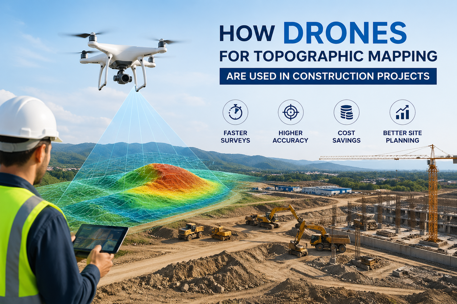
Surveying has made a substantial shift overall and modern surveying has revolutionized itself highly in the last ten years. The methods that merely relied on and measured ground and manual data collection have been and still are unable to catch up with infrastructural, construction and land development projects, which are already achieved and in progress fairly quickly. This technology is thus considered as a crucial weapon in LiDAR mapping service. With its accompanying aircraft, LiDAR has got rid of the old method of collecting, analyzing, and applying spatial data of the surveyors steadily.
At Drone LiDAR Mapping by Skyelink, we are witnessing the technological transformation in the field of surveying through LiDAR technology in the US.

LiDAR Mapping Explained in Very Basic Terms
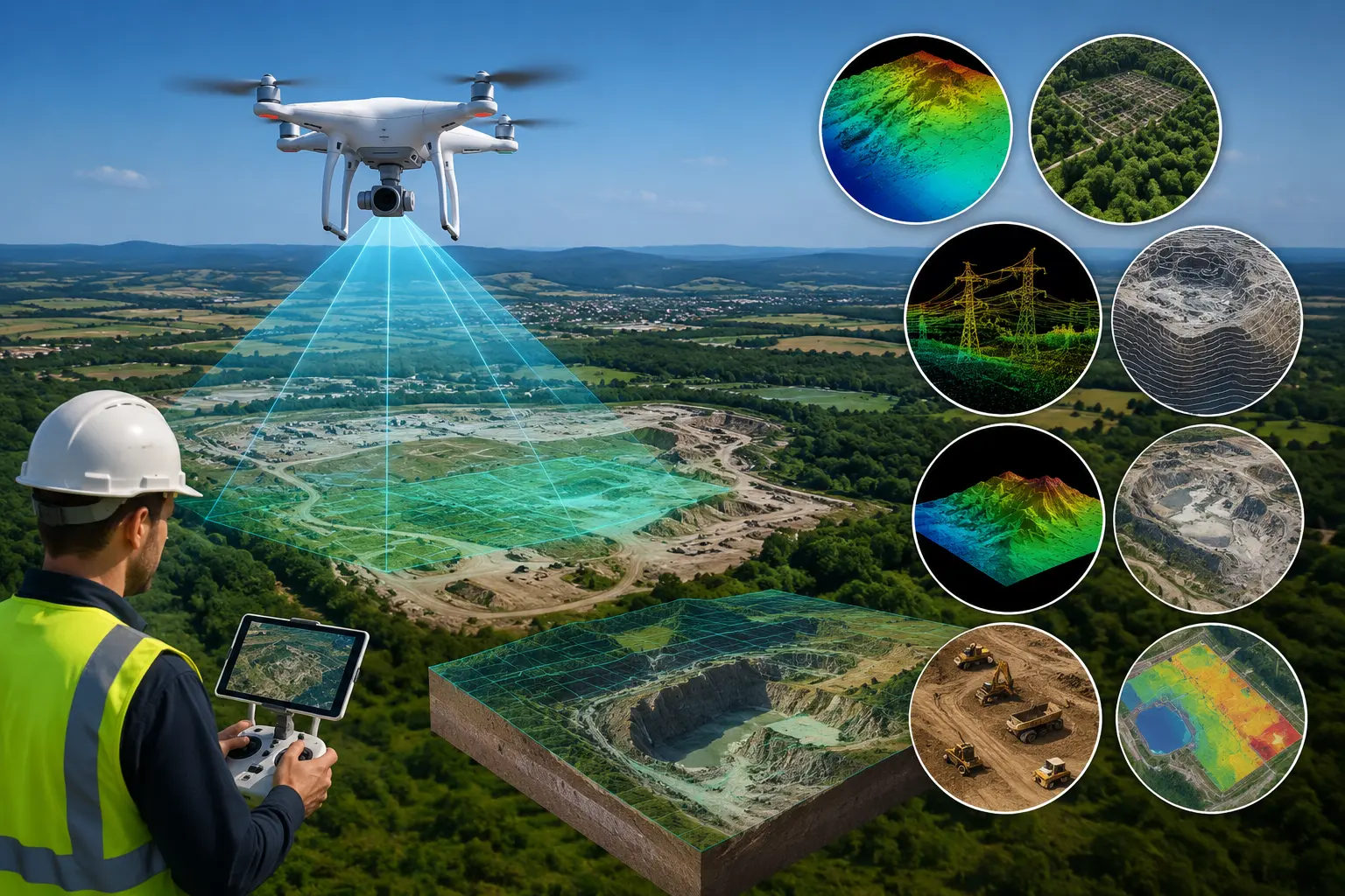
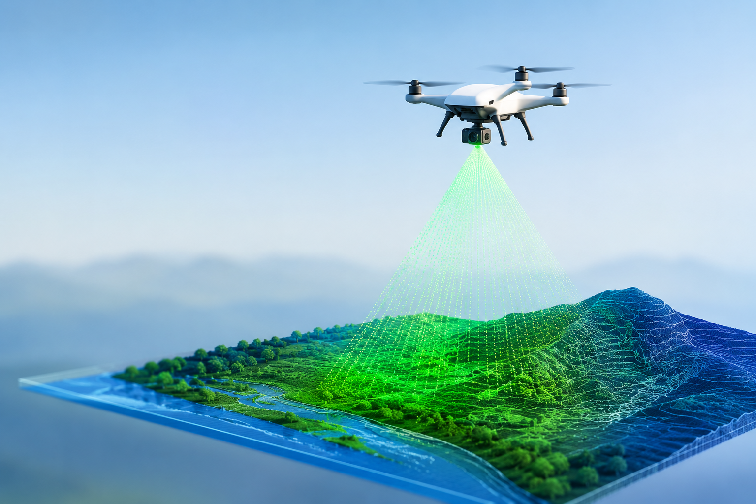
The acronym of LiDAR is Light Detection and Ranging. Its operation is based on sending laser pulses from an aircraft to the ground and recording the time of their return. The duration of each pulse creates very precise three-dimensional models of the ground, buildings, and even vegetation.
Not to mention, the 3D imaging created by LiDAR is nowadays available without physical surveying, as it was compulsory that ground surveyors get access to each site. Therefore, aerial LiDAR mapping services are more costly, hazardous, and quick, particularly for large or intricate areas.
Why Traditional Surveying Methods Are No Longer Enough
Even though traditional surveying methods are still useful, they come with their drawbacks. Ground surveys can take a lot of time, require a lot of manpower and in certain cases, be very dangerous if they are being carried out in rough or inaccessible areas. Weather, plants, and the size of the site are some of the factors that often impede the progress of the survey and escalate the costs.
On the other hand, aerial lidar survey services can perform the task of surveying in large areas very quickly while still being very accurate. Thus LiDAR has become an indispensable method for modern surveying requirements.
The Modern Projects’ Demand for Accuracy
Accuracy has been one of the top reasons that the usage of lidar mapping services is very important today. Modern projects cannot afford to be wrong, hence the need for very detailed elevation data and impeccable measures as insurance against costly errors that would occur later on.
LiDAR technology gathers millions of data points to form the most accurate surface and terrain models. This high level of detail allows the surveyors, engineers, and planners to make the right decisions at the right time in the project. In case it is a road design, flood analysis, or land development, accurate data always lowers risks and enhances outcomes.
The Power of Aerial Topographic & LiDAR Mapping
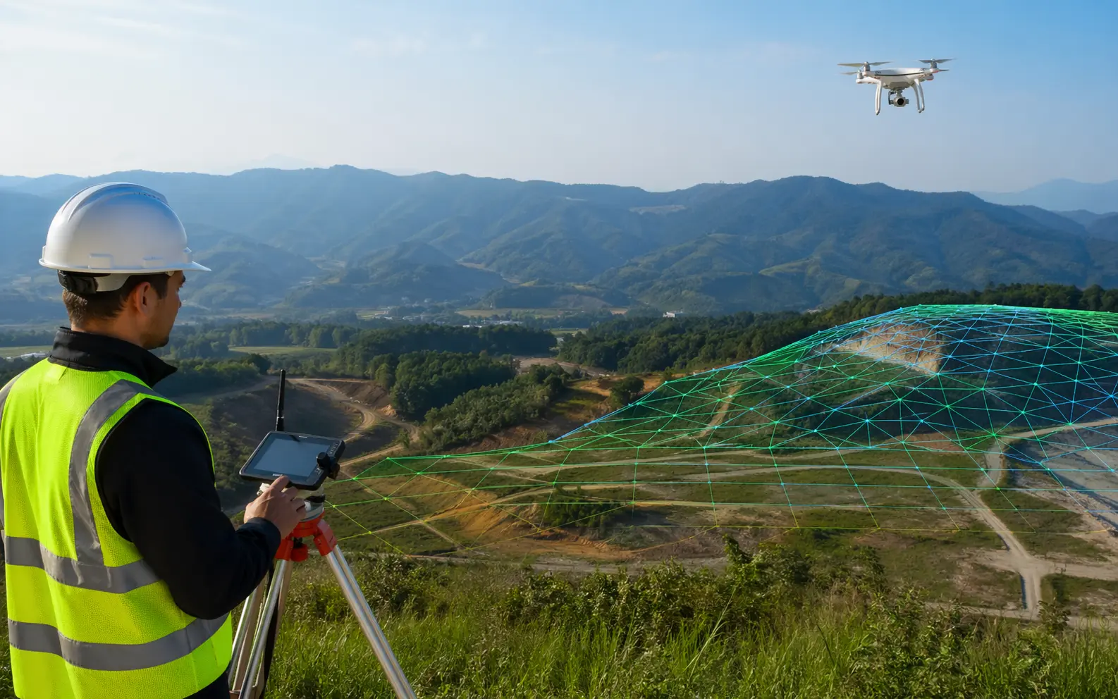
One of the most important uses of LiDAR is Aerial Topographic & LiDAR Mapping. This method gives a comprehensive understanding of land contours, slopes, and elevation changes that are hard to determine by human survey.
Topographic LiDAR dataset is predominantly beneficial for:
- Planning for construction and infrastructure
- Assessment of flood risk
- Surveys for mining and quarrying
- Projects in the environmental and forestry sectors
Surveyors are now able to obtain detailed terrain data even in areas that are thickly wooded or far off the beaten track by employing aerial platforms.
Drone LiDAR Mapping is the Future
Undoubtedly, Drone LiDAR Mapping is the future of aerial surveying. The use of drones provides the advantages of flexibility, speed, and efficiency in terms of cost compared to continuing the use of traditional manned aircraft. Additionally, the drones have the capability of flying at lower altitudes, thereby achieving high levels of detail in the data captured and at the same time getting to places that are either difficult or dangerous for ground crews to access.
As one of the top drone lidar mapping companies, the US has been leading the world in using drone lidar to map areas efficiently and accurately. Because of the quick deployment of drones, they are the very best for time-critical projects.
At Drone LiDAR Mapping, we provide cutting-edge drone technology and proficient data processing to give reliable results for today’s survey needs.
Quicker Data Collection, Lower Outlay
Time is a very vital aspect in surveying projects. The slowing down of data collection can lead to changes in project timelines and costs. With aerial lidar mapping services, the survey time is greatly reduced, as large areas can be mapped in one flight.
Quicker data collation also translates into a reduction in labor costs and a decrease in the number of site visits. All these factors make LiDAR a more affordable solution without sacrificing either quality or correctness.
Safer Survey Teams through Technology
LiDAR mapping’s safety is a primary concern that it addressed. The traditional way of surveying used to require the surveying team to work in very difficult and dangerous environments, for example, steep and hilly areas, swamps and dense forests, roads and construction sites.
This means that aerial surveys are not only the safest kind of survey method for the workers but also the least troublesome from the project point of view.
Data That Is Dependable for a Range of Industries
Modern surveying has expanded from just land measurement to include areas in urban planning, construction, utility management, mineral exploration, and environmental management. These industries have a huge demand for spatial data.
LiDAR mapping services yield flexible datasets that are applicable in various domains. One LiDAR survey can simultaneously cover planning, design, monitoring, and maintenance, which is why it is considered a valuable long-term investment.
Thereby Encouraging Smarter Decision Making
The foundation of the decision-making process is accurate data. The stakeholders with 3D model and elevation maps in their hands can see the construction site clearly before it actually takes place. This aids in spotting problems beforehand and thus lessening the incidence of surprising and costly occurrences later.
Access to trustworthy LiDAR solutions is one of the perks that come with collaborating with Skyelink and Drone LiDAR Mapping—the solutions that not only support but also encourage smarter, data-driven decisions.
LiDAR to Driving Powered Surveying
The role of LiDAR in modern surveying is going to be a big one as technology keeps on changing. The union of drones, sophisticated sensors, and powerful data processing tools guarantees quicker, safer, and more precise results.
Aerial lidar mapping service is the way to go for projects requiring the highest of precision, efficiency, and reliability.
The End of Thoughts
Highly developed surveying requires tools capable of standing the test of time regarding project demands. LiDAR mapping services are capable of providing unparalleled accuracy, speed, and safety; therefore, they are considered as the foundation of the modern surveying techniques.
Skyelink’s support for Drone LiDAR Mapping ensures the US clients get access to high-quality LiDAR solutions that have been tailored to real-world challenges. LiDAR is expertly driving the future of surveying, from Aerial Topographic & LiDAR Mapping to drone lidar mapping in the US—one accurate data point at a time.