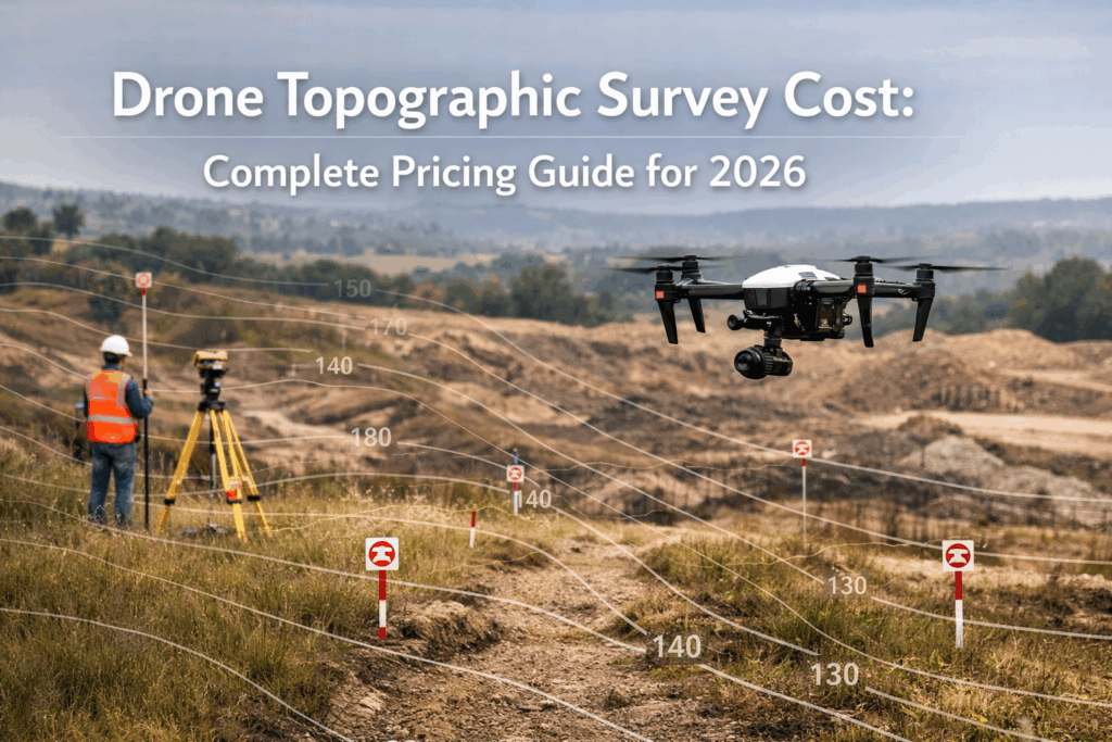
This guide covers all the information about the drone topographic survey cost in the USA. You will be educated about why the pricing is calculated, what technologies are being used, why drone surveys are more efficient to use as compared to the traditional ground surveys. At the end, you will be able to plan, budget, and carry out a topographic survey and do so with confidence.
Key Takeaways
- Drone surveys provide faster, more accurate results than traditional methods.
- Survey costs depend on property size, terrain complexity, and required detail.
- LiDAR-equipped drones capture precise data even in challenging environments.
- Drone topographic mapping benefits construction, land development, and environmental projects.
- Using certified professionals and FAA-compliant drones ensures reliable and legally compliant results.
Introduction
Construction, land development and environmental planning requires precise topography and most project managers believe that land survey is nothing but surveying the land. As a matter of fact, the only difference is precision, terrain analysis, and effective collection of data.
Within the USA, the utilization of drone survey services has completely changed how the projects in property and infrastructure planning are conducted. Their advantages include less time taken on surveys, increased accuracy and reduced expensive errors. What is mostly lost in the process is the technology that goes under the process in LiDAR sensors, flight planning, and advanced data modeling that makes the results reliable.
The knowledge of topography mapping by drones assists project owners to plan budgets, prevent delays, and make effective decisions. This is what will be discussed in this guide.
Table of Contents
- What is a Drone Topographic Survey?
- Benefits of Drone Topographic Mapping
- Drone Topographic Survey Cost in the USA
- Drone Survey Process and Workflow
- Technology Behind Drone Surveys
- Drone Surveys vs Traditional Surveys
- Industry Applications
- Conclusion
- FAQs
What is a Drone Topographic Survey?
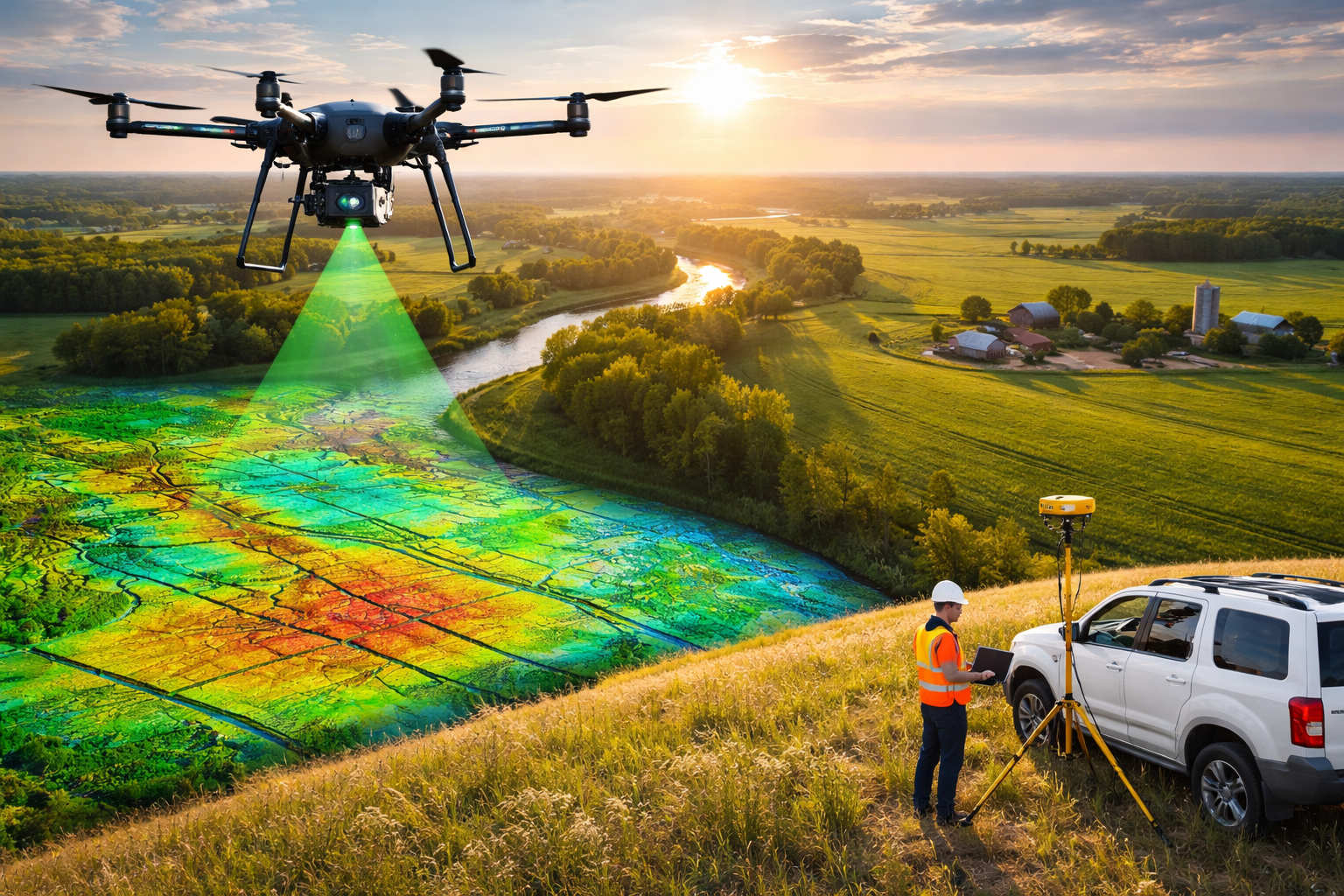
Unmanned aerial vehicles (UAVs) are drones utilized to perform a drone topographic survey with cameras, LiDAR, and GPS systems to create high-resolution, 3D images of the surface of the land. The drones can be used to cover large areas of the ground within a short period as compared to the traditional ground survey which may take long to cover the location and some of them may be dangerous.
The output consists of comprehensive contour maps, elevation models, and digital terrain data, which inform the property development, construction, and infrastructure projects. Drone surveys minimize inaccuracies that might cause a project to fail or be held up due to boundary issues, which are costly to the project.
Benefits of Drone Topographic Mapping
Drones surveys have several benefits, which are more than traditional techniques of surveying:
Speed and Efficiency: Drones can cover acres of land within several hours as opposed to days or weeks when it was done manually.
Greater Precision: LiDAR-drone drones are capable of recording centimeter-resolution images, even in the thickest of vegetation, and this results in better accuracy in elevation and boundary mapping.
Cost-Efficient: Drones surveys reduce the total cost of the drone topographic survey than traditional ground survey, due to the reduced number of personnel and time required to collect the data.
Safety and Accessibility: Drones have an ability to access steep slopes, wetlands, and other problematic regions and minimize the risk of accidents.
Complete Data: The drone provides 3D data, topographic maps and georeferenced data that can be utilized in subsequent projects.
Drone Topographic Survey Cost in the USA
The overall cost of a drone topographic survey depends on a number of factors when it is being planned. The knowledge of these variables will assist property owners, developers, and survey professionals in making sound judgments and selecting the most suitable service of drone survey to be used in their project.
Factors That Affect Drone Topographic Survey Cost
- Survey Area Size: Bigger areas need increased flight time and data processing which are more expensive.
- Complexity of Terrain: Hilly terrain or terrain with irregularities require higher levels of planning and flight changes.
- Vegetation Density: LiDAR may be needed in dense forests or thick vegetation in order to bring about the correct results.
- LiDAR vs Photogrammetry Usage: LiDAR survey is more costly in general because of sophisticated technology.
- Level of Reporting Detail: Reporting cost can be raised when 3D, contour maps, and georeferenced datasets are involved.
Given these considerations, clients would be able to make accurate budgets and make the right choice in the type of drone survey service to utilize in their project.
Drone Survey Process and Workflow
Planning
To achieve correct results, certified surveyors evaluate the site, compute flight routes as well as identify resolution needs.
Data Collection
LiDAR point clouds and high-resolution images of a target area are acquired by drones, which are very effective in surveying a large area or challenging terrain.
Data Processing
Raw drone data is transformed into topographical maps, 3D models and altitude data that can be used in project planning by specialized software.
Analysis and Reporting
The data are analyzed by the survey crew themselves, and detailed surveys are created in the form of reports, contour lines and precise terrain models that are ready to be used in the engineering, construction or development decision making.
Technology Behind Drone Surveys
Drones and Sensors
Current flyers in surveys have LiDAR sensors or photogrammetry cameras allowing a high-precision mapping capability. LiDAR particularly is applicable in vegetated areas or rough terrain where the elevation is accurately recorded in places that cannot be accurately recorded by photogrammetry.
Software and Accuracy
Processed data sets are transformed into GIS formats of map, contours and 3 dimensional terrain models. It could be accurate to the centimeter precision which is imperative to the infrastructure, construction and land development planning.
Comparison Table: LiDAR vs Photogrammetry
| Feature | LiDAR | Photogrammetry |
| Accuracy | High (cm-level) | Moderate (decimeter-level) |
| Vegetation Penetration | Excellent | Poor |
| Cost | Higher | Lower |
| Ideal For | Dense forests, complex terrain | Open, flat areas |
Drone Surveys vs Traditional Surveys
| Aspect | Drone Survey | Traditional Survey |
| Time | Hours to a day | Days to weeks |
| Accuracy | Centimeter-level | Meter-level |
| Cost | Moderate | High |
| Accessibility | Hard-to-reach areas | Limited access |
| Data Output | 3D models, maps | Basic measurements |
Drones surveys provide better, safer and more comprehensive results which would be best applied to the current US projects..
Industry Applications
Construction and Infrastructure: Build roads, bridges and commercial developments with minimal delays and error.
Land Surveying and Real Estate: Map properties correctly, minimize conflicts and enhance efficient planning.
Environmental Studies: Surveillance of erosion, vegetation and land change of conservation and compliance projects.
Agriculture: Examine fields, irrigation and terrain, to improve crop management.
Conclusion
Knowledge about drone topographic survey cost can save time and ensure that budgeting is done correctly by the landers, developers, as well as infrastructure planners. Compared to the conventional procedures, drone surveys have high speed, accuracy, and cost-efficiency.
Using Drone LiDAR Mapping and Skyelink you have access to drones that are FAA compliant, certified drones and the latest state of the art technology and know your project is built on quality and accurate topographical data. Get in touch with us today to consult or get a quote and get the process of smarter surveying started.
FAQs
1. What is the average drone topographic survey cost in the USA?
Costs vary by property size and terrain, ranging from $500 for small lots up to $15,000+ for large-scale projects.
2. How accurate is drone topographic mapping?
LiDAR-equipped drones can achieve centimeter-level precision, even in densely vegetated or uneven terrains.
3. How long does a drone survey take?
Most surveys can be completed in a few hours to a day, compared to several days or weeks for traditional ground surveys.
4. Can drone surveys replace traditional land surveys?
Yes, for most projects, drones provide faster, safer, and more detailed results, but some legal boundary surveys may still require ground verification.
5. What industries use drone survey services?
Construction, real estate, agriculture, environmental monitoring, and infrastructure projects widely use drone surveys for precise mapping and planning.