Drone Land Surveying
Drone Land Surveying Explained: Everything You Need to Know
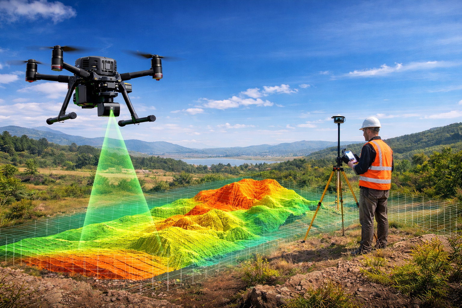
Drone Land Surveying Explained: Everything You Need to Know Objective The objective of this blog is to help landowners, developers, engineers, and construction professionals know